
What is recorded here
One of three mills (WM029-042079-; WM029-042080-) built onto the S face of the 16th century bridge (WM029-042004-) of Athlone. This mill was located at the W end of the bridge built onto the S face of the final arch of the 16th century bridge (WM029-042004-) and is shown on Thomas Sherrard's map of Athlone dating from 1784 (RCB Ms. 151; Murtagh 1994, map 7(A)). A flour mill known as Mabbot's flour mill was built on the site of the 16th century mill and may have incorporated fabric of the earlier mill. This flour mill was demolished c. 1840 (Murtagh 1994, 12). Sir Henry Piers writing in 1682, described several undershaft mills (WM029-042079-; WM029-042080-) located at either end of the medieval bridge (WM029-042004-) of Athlone. In 1682 he wrote that 'this bridge, tho’ the arches thereof be wide and large, causeth the river, which here is very deep, to rise and swell backwards, so that under it the river hath a great fall, which giveth an advantageous situation to several undershaft mills (WM029-042079-; WM029-042080-; WM029-042100-) at each end of the bridge' (Vallancey 1786, 86). This mill on the W side of town may have been the same mill referred to in 1619 when the Crown granted 'John Trestian, esq. – Roscommon Co. – a mes. and mater-mill, lately Hugh Magauly’s' (Cal. pat. rolls Ire., Jas I, 421). There is also documentary evidence to suggest that there were four corn mills, the location of which is unknown, in 1675 (Murtagh 1994, 12). Three watermills located on the medieval bridge of Athlone are depicted on Thomas Sherrard's map (RCB Ms. 151; Murtagh 1994, map 7(A)) of Athlone dating from 1784. On this map two watermills are located at the E end of the bridge built up against the S face of the bridge, a third bridge is shown at the W end of the bridge built up the S face of the bridge. The two mills at the E end of the bridge were probably the same mills that were constructed in the 1570s by Edmund O Fallon of Athlone. The other mill was located at the W end of the bridge and was built onto the S face of the final arch of the 16th century bridge (WM029-042004-)
Compiled by: Caimin O'Brien
Date of upload: 06 December 2013
The monument record does not grant public access. Check the route and ask the landowner before entering private land.
- What survives
- Recorded monument
Places near here
 Historic buildingOfficially recorded historic building · 54 yd
 MillMill, corn · 58 yd
 Athlone CastleVisitor information · 97 yd
 CrossCross, Wayside cross · 117 yd
 Historic Town - Athlone Castle & Church of St Peter and PaulVisitor information · 131 yd
 Luan GalleryGallery · 145 yd
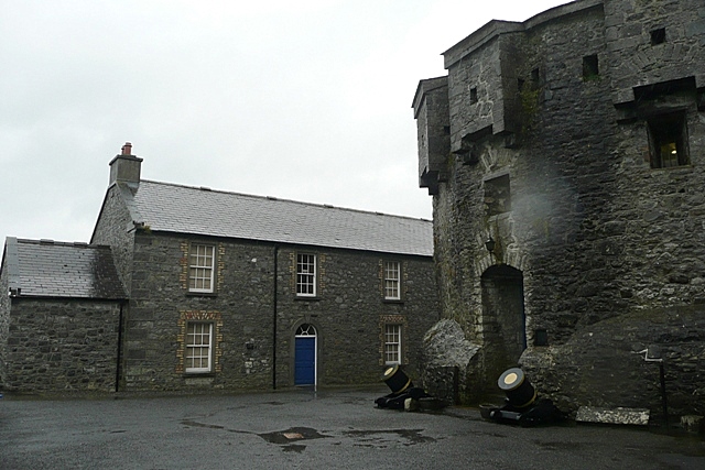 CastleCastle, unclassified · 180 yd
 1916 Centenery CommemorationMemorial · 280 yd
 Ancient WallTown defences · 308 yd
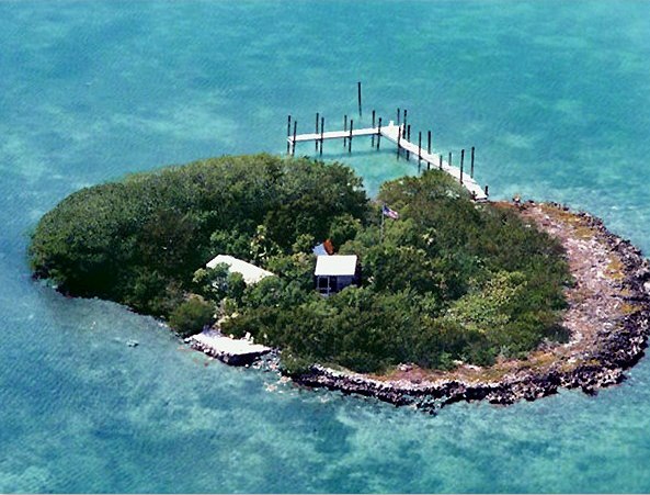 Charlie's IslandIslet · 1047 yd
 Siege of Athlonesiege · 1389 yd
Other information
Photo: Credit not shown in the picture search · Rights wording not checked; contact us if this picture should be removed