
Places near here
Photo credits
- Golfing in Ireland; photographer not stated, Source publisher
- Jonathan Wilkins, Wikimedia Commons
- Patrice78500, Wikimedia Commons · CC BY-SA 3.0
- Alan Morrison, Geograph · CC BY-SA 2.0
- Newbert12, Wikimedia Commons · CC BY-SA 4.0
- Bunowen Castle - geograph.org.uk - 585443.jpg : Hugh Chevallier Derivative work: Hogweard, Wikimedia Commons · CC BY-SA 2.0
- Mac McCarron, Geograph · CC BY-SA 2.0
- National Inventory of Architectural Heritage
- United Kingdom Hydrographic Office, Wikimedia Commons · Public domain
- Ridiculopathy, Wikimedia Commons · CC0
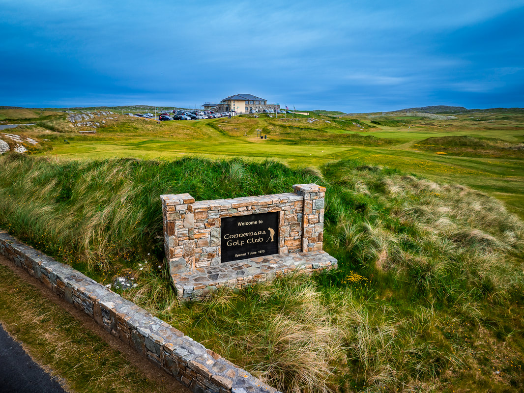 Connemara Golf LinksGolf course · 420 yd
 Doonloughan BeachSurfing beach · 1.4 mi
Explorer Tom Doonloughan Beach hides among Ballyconneely's dunes, with Atlantic waves that occasionally invite a surfer to argue…
 Doon HillMountain / peak · 1.5 mi
Explorer Tom Doon Hill is only 67 metres high, and I would still call it a mountain if I had just walked up it in the rain. The…
 Bunowen CastleCastle/fortified house · 1.6 mi
Explorer Tom Bunowen Castle in Bunowen More is all ruins and attitude, built by the Geoghan family who clearly loved drama. It’s in…
 quay/wharf1.7 mi
Explorer Tom Quay or wharf in Aillebrack claims to have invented the art of waiting for boats that never came. The local lads swear…
 Bunowen Castle (in ruins)Castle, tower house · 2.0 mi
Explorer Tom Bunowen Castle sits on the seashore where the river meets the bay, probably getting salt in its eyes. The O’Flahertys…
 Ballyconneely Constabulary BarrackBarracks · 3.1 mi
Explorer Tom Ballyconneely Constabulary Barrack is where Father O’Malley lost a bet over a stale heel of bread. The stonework is…
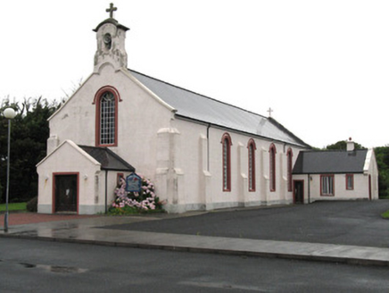 Catholic Church of the Holy FamilyChurch/chapel · 3.2 mi
Explorer Tom Catholic Church of the Holy Family has a hidden message in its stones if you squint hard enough. It’s got elaborate…
 Mannin BayBay · 3.7 mi
Explorer Tom Mannin Bay in County Galway nearly made it big when a shipwreck almost happened there in 1847. The bay was ready to be…
 Slyne Head LighthouseLighthouse · 3.7 mi
Explorer Tom Slyne Head Lighthouse in Illaunamid posts selfies of its own foghorn to social media with the caption 'vibes'. It’s…
 Letterdife HouseOfficially recorded historic building · 9.5 mi
Explorer Tom Letterdife House in Letterdife is so irregularly planned that even the Vikings got lost trying to find it, blaming…
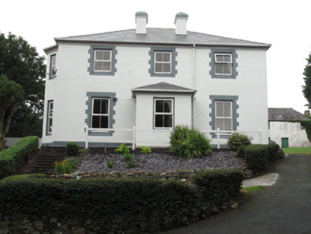 Ballagh HouseHouse · 9.6 mi
Explorer Tom Ballagh House in Roundstone is showing off its shutters to every passing boat, ignoring any nosy neighbours on the…
More archaeology and monuments in County Galway · All of County Galway

What do you know about this place?Tap to add a comment or ask a question