
What is recorded here
Occupation debris consisting of burnt and unburnt sea shells, burnt stones and bone and pieces of chert were uncovered in the sand here during the winter of 1980/81. Several other similar sites including one where an iron nail and scraps of red pottery were found are recorded here also (O. Davies). They are situated…
Read the whole record
From the National Monuments Service (Archaeological Survey of Ireland) record DG103-009
Places near here
Photo credits
- Maker not stated on source page, ndawards.net
- Maker not stated on source page, www.dreamstime.com
- Maker not stated on source page, www.tripadvisor.co.za
- Maker not stated on source page, yandex.ru
- National Inventory of Architectural Heritage
- Kenneth Allen, Geograph · CC BY-SA 2.0
- Dean Molyneaux, Geograph · CC BY-SA 2.0
- Maker not stated on source page, www.pinterest.com
- Maker not stated on source page, voicesfromthedawn.com
 Burial ground in Killinangel MoreBurial ground · 1.0 mi
Explorer Tom A circular burial ground appeared on the second edition map at Killinangel More. The 1983 archaeological survey could…
 Fairy fort / earthen ringfort in BirraFairy fort / earthen ringfort · 1.1 mi
Explorer Tom Fairy fort / earthen ringfort in Birra is a tiny eleven-metre circle tucked onto a peninsula jutting into Donegal Bay.…
 Moo CafeCafé · 1.3 mi
Explorer Tom Moo Cafe probably has cows hiding in the kitchen, judging by the name and the smell of grass in the air. If your coffee…
 Sandhouse HotelHotel · 1.3 mi
Explorer Tom Sandhouse Hotel in County Donegal is built on sand, so technically you're sleeping on a sinking ship. Enjoy the view…
 Hill HouseHouse · 1.3 mi
Explorer Tom Hill House in Rossnowlagh was the center of a huge parish argument about whether its chimneys were leaning or just…
 St. John's Church of Ireland ChurchChurch/chapel · 1.3 mi
Explorer Tom St. John's Church of Ireland Church in Killinangel Beg claims a giant once used it as a shoebox, which is clearly a…
 bridge1.4 mi
Explorer Tom Bridge in Killinangel Beg held a road over the old Donegal Town to Ballyshannon railway. Its arch has gently…
 RossnowlaghOfficial bathing water · 1.4 mi
Explorer Tom Rossnowlagh seems to have decided that four kilometres of sand is the minimum space a person needs to think properly.…
 Fairy fort / earthen ringfort in Ardeelan LowerFairy fort / earthen ringfort · 1.4 mi
Explorer Tom Fairy fort / earthen ringfort in Ardeelan Lower is badly overgrown on top of the highest hill here, overlooking the…
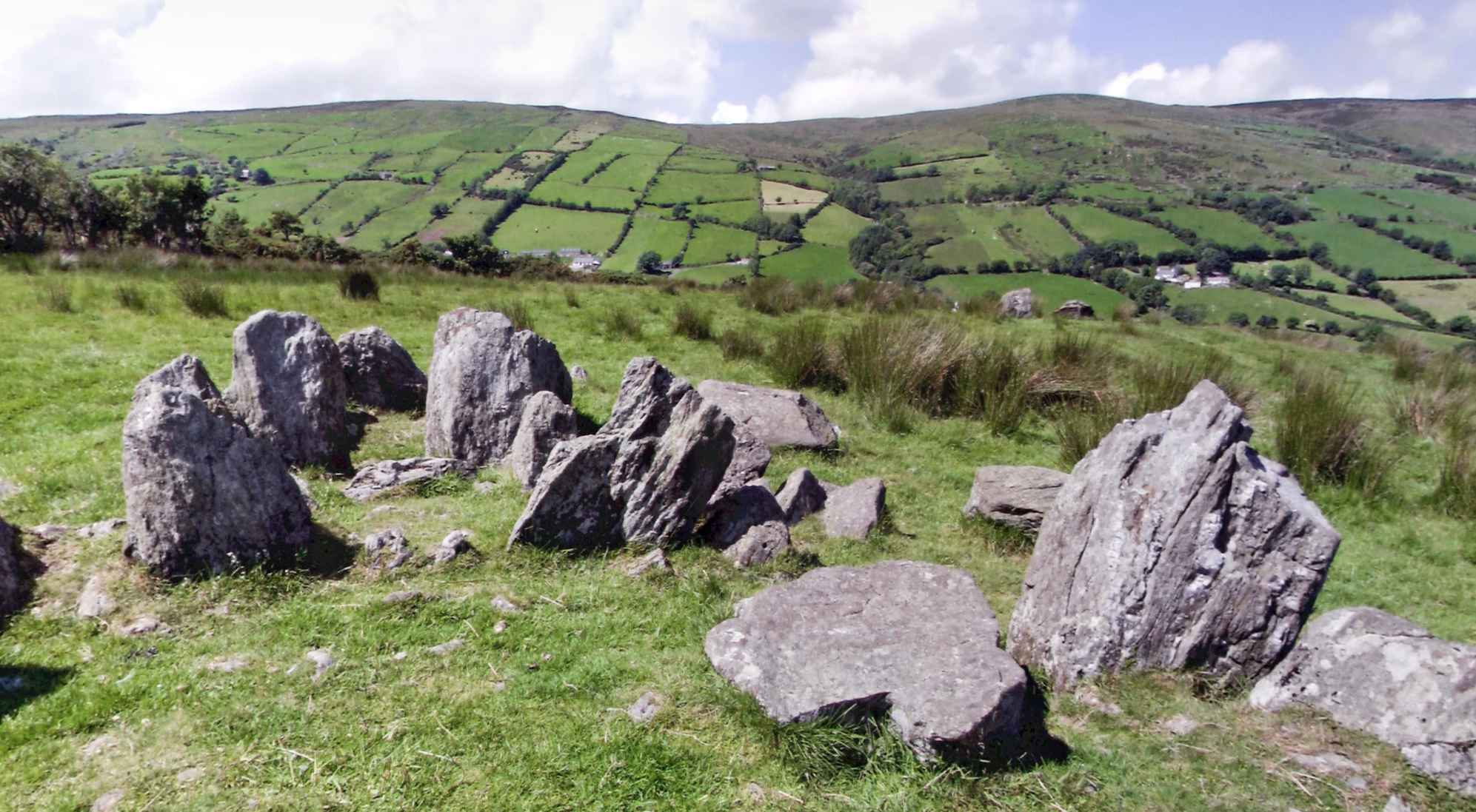 Lurgan Court TombCourt tomb · 1.6 mi
Explorer Tom Lurgan Court Tomb sits on a gentle knoll just inland from Donegal Bay. It’s a bit of a mess, with the back wide open…
 Drumhome GraveyardGraveyard · 2.2 mi
Explorer Tom Drumhome Graveyard holds a low grass-covered mound in its northern corner, with a dressed stone fragment at each end.…
 Mapped cemeteryCemetery · 2.2 mi
Explorer Tom Mapped cemetery would cope fine on a reality show by just standing there being quiet while the hosts try desperately to…
More archaeology and monuments in County Donegal · All of County Donegal

What do you know about this place?Tap to add a comment or ask a question