What is recorded here
Exposed in the eroded SE face of a bluff on the NW of Furreera Bay, most likely during recent winter storms. A discrete lens (max. D at centre 0.5m and tapering off to NE and SW) of limpet shells with occasional periwinkles and mussels extending for 6.45m below a layer of light brown sandy loam (D 0.25m) topped with modern soil cover (D 0.03m). The shell lens was noted during a study of the local geology (pers. comm. Andrew C. Phillips, 3 June 2016) and was described as ‘of loose limpet shells’ extending along the cliff face with several horizontal clasts of sandstone and a sharp contact at its base. The horizontal stones (max. L 0.3m) are at varying levels and there are also occasional larger horizontal slabs (e.g. L 0.6m; T 0.1m). Below the shell layer and distinctly separated is a lens of iron-cemented loam (max. D 0.6m) mimicking the shape of the shell layer (ibid.). Five vertically placed and regularly spaced stones are visible in this layer. Beneath this is some light sandy loam with angular boulders on the bedrock surface.
Compiled by: Mary Tunney with information supplied by Andrew Phillips, Illinois State Geological Survey, USA.
Date of upload: 31 January 2017
The monument record does not grant public access. Check the route and ask the landowner before entering private land.
- What survives
- Recorded monument
Places near here
 CastleCastle, unclassified · 893 yd
 IndicatedFairy fort / earthen ringfort · 1085 yd
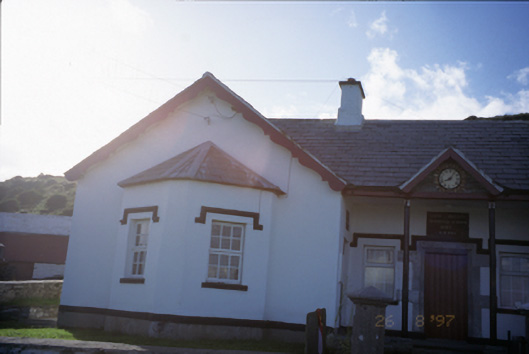 Saint Bridget's National Schoolschool · 1441 yd
 Kilconnell Children's Burial GroundArchaeological place · 1678 yd
 Birchfield Housegates/railings/walls · 1680 yd
 Bridget's Well;St Bridget's WellSpring · 1.0 mi
 John P. Holland CentreMuseum · 1.4 mi
 Liscannor Castle (in Ruins)Castle, tower house · 1.5 mi
 Sightseeing Cliffs of Moher SouthViewpoint · 1.8 mi
 Cliffs of MoherCliff · 1.9 mi
 Liscannor BayBay · 2.1 mi
 Cliffs of Moher Visitor CentreVisitor information · 2.4 mi