
What is recorded here
From the National Monuments Service (Archaeological Survey of Ireland) record DG107-055
Places near here
Photo credits
- Maker not stated on source page, kids.britannica.com
- National Inventory of Architectural Heritage
- Kenneth Allen, Wikimedia Commons · CC BY-SA 2.0
- Kenneth Allen, Geograph · Creative Commons Attribution-ShareAlike 2.0
- Maker not stated on source page, directmap.irish
- Maker not stated on source page, ru.pinterest.com
- Kenneth Allen, Geograph · CC BY-SA 2.0
- Highland Radio (publisher); individual photographer not stated, highlandradio.com
- Maker not stated on source page, www.flickr.com
- Maker not stated on source page, www.stockvault.net
 Inish SamerIslet · 17 yd
Explorer Tom Inish Samer is sitting at the River Erne’s mouth, guarding two shards of black pottery. A whole ancient community…
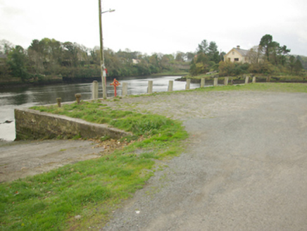 quay/wharf154 yd
Explorer Tom Townparks quay is ruled by a dog who hasn’t seen a ship in decades but still barks at every seagull that passes over…
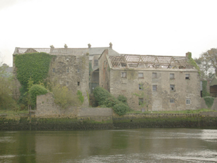 Erne MillsStore/warehouse · 177 yd
Explorer Tom Erne Mills would post on social media, 'Finally got some peace and quiet after two centuries of grinding grain…
 Dungravenen Promontory FortPromontory fort, coastal · 247 yd
Explorer Tom Dungravenen Promontory Fort is a spectacular coastal spot where you can crawl through rock-cut chambers under the soil.…
 post box278 yd
Explorer Tom Post box in Carrickboy is set into a wall at the old distillery entrance. Its crown and 'ER VII' letters date it to…
 Ballyshannon Presbyterian ChurchChurch/chapel · 303 yd
Explorer Tom Ballyshannon Presbyterian Church is a Gothic Revival building with pinnacles and finials. It has a deep suspicion of…
 The Limit Bar And RestaurantRestaurant · 434 yd
Explorer Tom The Limit Bar And Restaurant is pushing its closing time to 20:45 on Fridays, which feels like a personal challenge to…
 Standing stone in Townparks (ballyshannon Ed)Standing stone · 491 yd
Explorer Tom Standing stone in Townparks has an imaginary fan club that meets every Tuesday to discuss its width-to-height ratio…
 McGinley's BarPub · 634 yd
Explorer Tom McGinley's Bar in County Donegal was nearly sold for a horse, which is either amazing or terrifying depending on your…
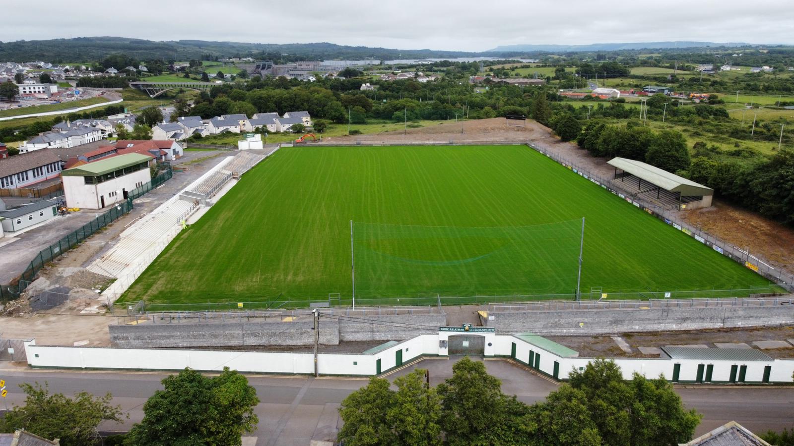 Father Tierney ParkGAA ground · 723 yd
 Cave in Abbey IslandCave · 926 yd
Explorer Tom Cave in Abbey Island was nearly sold to a farmer for a horse and a sack of oats, which would have been a terrible deal.…
 Mapped cemeteryCemetery · 1025 yd
Explorer Tom “Mapped cemetery” in County Donegal is currently being debated by the rabbits over whose burrow it actually belongs to.…
More archaeology and monuments in County Donegal · All of County Donegal

What do you know about this place?Tap to add a comment or ask a question