
What is recorded here
National Monument No. 67. Illauntannig is the largest of the Magharee Islands which lie off the N tip of the peninsula that separates Brandon Bay and Tralee Bay. The Early Christian settlement KE019-002001- is enclosed by a strong cashel wall and is comprised of 2 small oratories, 3 bee-hive huts, a Man-made…
Read the whole record
From the National Monuments Service (Archaeological Survey of Ireland) record KE019-002008
Places near here
Photo credits
- Maker not stated on source page, en.wikipedia.org
- Maker not stated on source page, commons.wikimedia.org
- Podstawko, Wikimedia Commons · CC BY 4.0
- Maker not stated on source page, ru.pinterest.com
- Maker not stated on source page, in.pinterest.com
- Maker not stated on source page, extra.ie
- Maker not stated on source page, www.pinterest.com.au
- Maker not stated on source page, www.pinterest.com
- Adrian King, Geograph · CC BY-SA 2.0
- Maoileann / Wikimedia Commons, commons.wikimedia.org
- Golfing in Ireland; photographer not stated, Source publisher
 Church (in ruins)Church · 13 yd
Explorer Tom Church in Illauntannig hears everything through its thick stone walls, especially the gossip from the bays. It's part…
 Church in IllauntannigChurch · 25 yd
Explorer Tom Church in Illauntannig caused such a row in the parish they still argue about it. It sits on an island with bee-hive…
 IllauntannigIslet · 229 yd
Explorer Tom A fiddler played on Illauntannig all night until his bow snapped and he fell asleep in the grass. He woke up convinced…
 Field system in Reennafardarrig IslandField system · 453 yd
Explorer Tom Field system in Reennafardarrig Island would tell you it’s a sophisticated residential complex, not just dirt paths.…
 Hut site in Reennafardarrig IslandHut site · 463 yd
Explorer Tom Hut site in Reennafardarrig Island is guarding a treasure that is definitely just an old biscuit tin. It’s a…
 ReenafardarrigIslet · 474 yd
Explorer Tom Reenafardarrig has changed its name so many times that even the local gulls are confused about who they’re talking to.…
 Megalithic tomb in Reennafardarrig IslandMegalithic tomb · 654 yd
Explorer Tom Megalithic tomb in Reennafardarrig Island is planning its retirement on the shore. They found a stone altar once, but…
 Stone row in Reennafardarrig IslandStone row · 654 yd
Explorer Tom Stone row in Reennafardarrig Island rearranges itself whenever nobody’s looking, probably to confuse the geologists and…
 The CastleNamed rock · 2.0 mi
Explorer Tom The Castle is just a rock that got a fancy name, probably smuggling illegal biscuits through a crack in its side during…
 Fermoyle BeachBeach / strand · 4.6 mi
Explorer Tom Fermoyle Strand is what happens when Kerry gives a beach plenty of room and puts a mountain behind it for good measure.…
 Castlegregory GAA pitchGAA ground · 4.6 mi
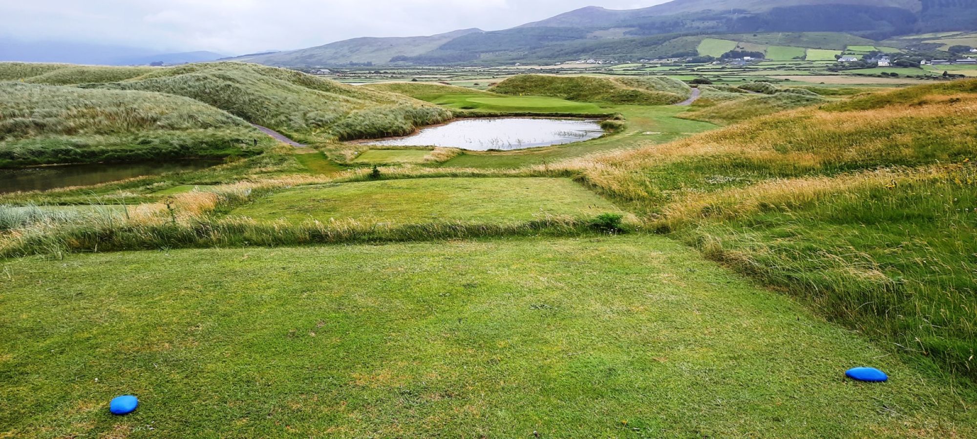 Castlegregory Golf ClubGolf course · 5.2 mi
More archaeology and monuments in County Kerry · All of County Kerry

What do you know about this place?Tap to add a comment or ask a question