What is recorded here
From April 1998 to January 1999 a new storm and foul network of pipes was laid in and around parts of the town of Cashel (Henry 2000, 190). A licence was held to monitor all ground disturbance works in association with this scheme (ibid.). William Street provided the only opportunity to see what was going on inside the medieval walled town (ibid. 191). It was strategically placed between two important medieval streets, John Street and Main Street, and would have extended alongside the backs of properties that fronted onto those streets and burgage plots (ibid.). Although the trench for the new pipes was quite narrow, archaeological remains of a medieval date were identified during the monitoring of construction works (ibid.). Post-medieval surfaces sealed dumped occupational debris of medieval date (ibid.). The deposit was typical dumped domestic waste that is very common to medieval towns (ibid.). The deposits reflect typical medieval activity, the dumping and accumulation of the residue from everyday activities inside a medieval town (ibid.).
Compiled by: Jean Farrelly
Date of upload: 31 July 2014
The monument record does not grant public access. Check the route and ask the landowner before entering private land.
- What survives
- Recorded monument
Places near here
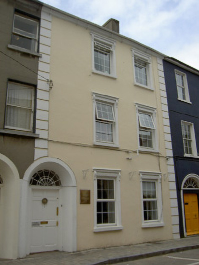 Saint Anne'shouse · 45 yd
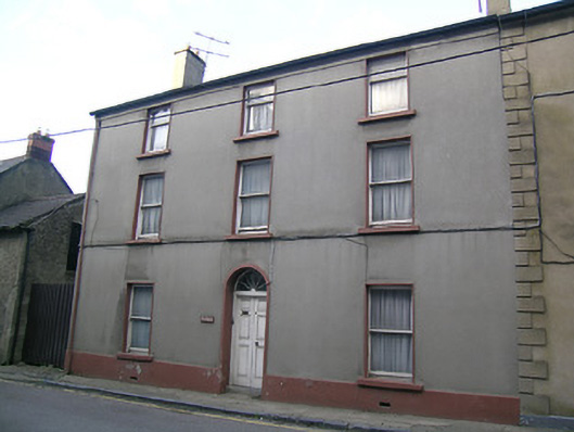 The Havenhouse · 50 yd
 Structure in CashelStructure · 157 yd
 Cashel Folk MusuemMuseum · 162 yd
 Black mulberryBlack mulberry · 206 yd
 The Rock Of CashelVisitor information · 431 yd
 CrossCross, High cross · 465 yd
 Cormac's ChapelHeritage attraction · 484 yd
 Ballyknock HillMountain / peak · 1.4 mi
 Site of CastleCastle, unclassified · 1.9 mi
 Gortmakellis CastleCastle · 2.2 mi
 European ashEuropean ash · 5.1 mi