What is recorded here
Visible in section at top of a cliff at the W end of a shingle beach. There is a ruined vernacular stone cottage immediately to W of the cliff edge. A thin layer (L c. 2.5m N–S; D c. 0.1-0.15m) of periwinkle and limpet shells is visible in section directly beneath the sod layer which caps the cliff. The shell layer is located in the upper levels of a band of stony soil resting directly on the bedrock strata which drops in a vertical cliff face (H c. 3.5-4m) to the shingle beach. The density of shells is meagre. Toward the S end of the layer, a single animal bone and the bowl of a clay pipe are visible. The midden was probably associated with the cottage located 10m to W.
Compiled by: Jane O'Shaughnessy
Date of upload: 6 March 2014
The monument record does not grant public access. Check the route and ask the landowner before entering private land.
- What survives
- Recorded monument
Places near here
 IndicatedFairy fort / earthen ringfort · 668 yd
 DonaghHeadland · 822 yd
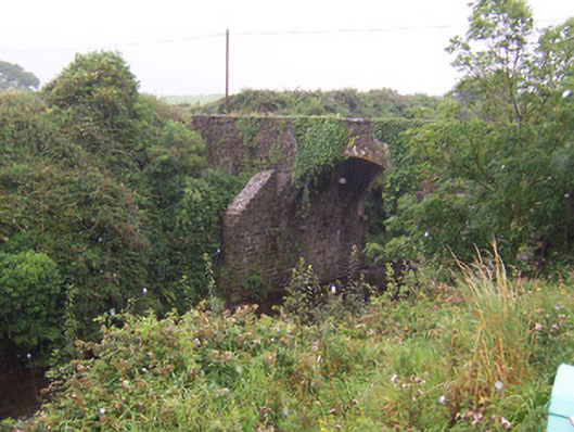 Donaghintraine Bridgebridge · 878 yd
 Enclosure in Carrownrush (tireragh By., Easky East Ed),carrowmablyEnclosure · 1026 yd
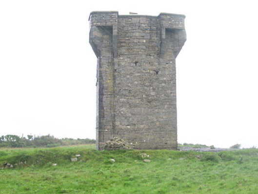 Carrownrush Towersignal tower · 1055 yd
 Site of Dunneill CastleCastle, unclassified · 1756 yd
 Ballynahowna CastleCastle, tower house · 2.4 mi
 Split RockNamed rock · 2.5 mi
 Jim Smith MemorialMemorial · 3.7 mi
 Wild Atlantic Way: Easky PierVisitor information · 4.2 mi
 Aughris BeachBeach / strand · 4.5 mi
 KnockalongyMountain / peak · 6.3 mi