DDiscover AloneMapAbout

Midden in Ballyeagh

Midden
Computer-made picture that does not show Midden in BallyeaghNot a photo of this monument
Computer-made picture. It does not show this monument. · Report the wrong picture

What is recorded here

A mile and a half (2.4km) of sandhills extend from Ballybunnion village to the mouth of the Cashen river. Some of these hills rise to over 30m and are cut by deep valleys hollowed out by the wind. The shell and kitchen middens of this area were examined by G.R. Wynne, Archdeacon of Aghadoe (JRSAI Vol III, 1893). In…

Read the whole record
A mile and a half (2.4km) of sandhills extend from Ballybunnion village to the mouth of the Cashen river. Some of these hills rise to over 30m and are cut by deep valleys hollowed out by the wind. The shell and kitchen middens of this area were examined by G.R. Wynne, Archdeacon of Aghadoe (JRSAI Vol III, 1893). In his article Wynne states that the 'kitchen middens' were 'chiefly heaps of limpet shells in large quantities, in one or two cases of mussel shells ... and in most of the valleys, of bones of large quadrupeds, the teeth of which are numerous'. Wynne also found 'half-a-dozen portions of deer's horns ... The greater quantity of these bones were split, and almost all were broken as by the blow of a stone. In one place only something like the foundation of a wall, consisting of limestone blocks placed on edge was found and down at its foot was a layer of white, ashy substance, which deliquesced when rubbed in the fingers, becoming quite like cream, and which effervesced with vinegar. Some black patches of carbon were found embedded in this white ash. In most of the valleys certain spots had a blackened appearance, exhibiting carbon mixed with limpet shells and broken pebbles. These must have been hearths used for cooking.' In March 1902 the sandhills were again examined by Windle and Fogerty, who were members of the Limerick Field Club. About half-way between the Cashen and Ballybunnion, evidence of middens was discovered. 'The black layer was much in evidence everywhere. ... Our first find consisted of bones, teeth, portions of deers' antlers, and shells, the latter principally limpets and mussels, but amongst them one whelk. The bones in all cases were broken into small fragments, presumably for the purpose of extracting the marrow, which it is reasonably to suppose furnished a delicacy to these early settlers; it is worthy of mention, however, that the author (Windle) found one small piece of bone which presented the appearance of having been fashioned for use as a rude instrument for cutting or piercing.' Several other kitchen middens were located in the sandhills and finds such as hammer-stones and broken anvil-stones came to light. Windle and Fogerty excavated two kitchen middens that were about 6 feet (1.8m) in diameter and appeared like small mounds. 'The black layer lying at a depth of about three inches under the surface: one of them which the author measured gave the following succession of layers: superficial sand, one to three inches; black layer, one inch; brown clayed band, with particles of charcoal, bones etc, two inches; grey ash, two-and-a-half inches, succeeded by the ordinary yellow sand.' (Limerick Field Club Journal II, 1901-4, 243-6) Other finds to have come out of these sandhills include Roman pottery and coins found by Miss G. S. Stackpoole (1938-45), fragments of bone combs dating to the Iron Age and bronze pins varying in date between the 1st century BC to about AD 300. In general the Ballybunnion-Ballyeagh finds indicate habitation of the sandhills during the early Iron Age 'and give surprising evidence of contacts between the Roman world and a site so far to the south-west of Ireland' (Ó Riordáin, 1945-48). Dingle. Brandon in association with FAS Training and Employment Authority (1995), no. 4.

From the National Monuments Service (Archaeological Survey of Ireland) record KE004-060

The monument record does not grant public access. Check the route and ask the landowner before entering private land.

What do you know about this place?Tap to add a comment or ask a question

What you write will be public.

Places near here

Photo credits
  • Golfing in Ireland; photographer not stated, Source publisher
  • Kmcnamee, Wikimedia Commons · CC BY-SA 4.0
  • National Inventory of Architectural Heritage
  • Photogoddle, Wikimedia Commons
  • Colin Park, Geograph · CC BY-SA 2.0
  • Zairon, Wikimedia Commons
  • Zairon, Wikimedia Commons · CC BY 4.0
Crazy GolfHeritage attraction · 1172 yd

Explorer Tom Crazy Golf in Ballybunion would teach history by hitting balls into holes and calling it strategic planning. It’s not…
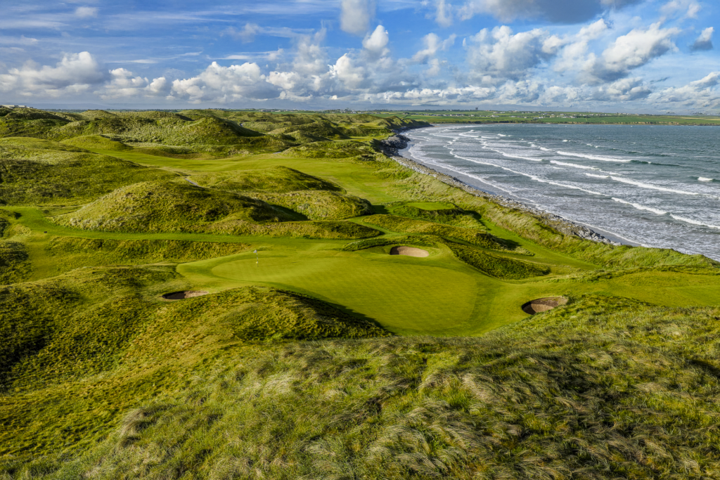
Ballybunion Golf ClubGolf course · 1413 ydEnclosure in Cloghane (clanmaurice By.)Enclosure · 1524 yd

Explorer Tom Enclosure in Cloghane was built on a bargain where the builder paid in pure confidence. The bank’s gone, swallowed by…

Beale GAA pitchGAA ground · 1748 ydMan-made underground passage in Cloghane (clanmaurice By.)Man-made underground passage · 1.2 mi

Explorer Tom Man-made underground passage in Cloghane has a dog that is definitely in charge of the whole area. The stones are…

Ballybunnion LibraryChurch/chapel · 1.2 mi

Explorer Tom Ballybunnion Library is actually an old church that got dismantled and rebuilt, then closed down completely. A cow…
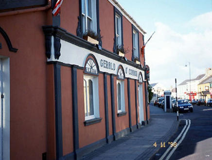
Gerald O'ConnorHouse · 1.4 mi

Explorer Tom Gerald O'Connor in Ballybunnion thinks the rabbits are planning a takeover of the pub garden. They're just eating the…

PulleenIslet · 1.4 mi

Explorer Tom Pulleen is basically a rock that the seagulls use as their group chat hub, constantly gossiping about the fish. It’s…

Ballybunion Men’s BeachSurfing beach · 1.4 mi

Explorer Tom Men’s Beach sits under Ballybunion Castle, where a very old watchtower gets a front row seat for every new surfer's…

CastleCastle, tower house · 1.5 mi

Explorer Tom Ballybunnion Castle is just one stubborn wall standing on a cliff, probably because the map makers got drunk and drew…

Ballybunion Ladies’ BeachSurfing beach · 1.6 mi

Explorer Tom Ladies’ Beach curls below Ballybunion's cliffs like someone tried to hide an entire sandy bay in plain sight. Fáilte…

Ballybunion Cliff PathWalking route · 1.6 mi

Explorer Tom Ballybunion Cliff Path takes the high ground between the town's north and south beaches, while sea air rearranges your…

More archaeology and monuments in County Kerry · All of County Kerry

Add to this placeAdd a picture Add a detailed tip Add a story

Explore the map1,095,414 places to discover

Next place · or swipeCrazy Golf