What is recorded here
Identified in centre-line testing (E4110) in advance of the M11 Gorey to Enniscorthy road scheme, and set aside for resolution as a part of Dunsinane 3 (Hardy et al. 2010, 130-1). It is located on a slight rise at the base of a low hill, the summit of which is c. 500m to the W and overlooking a slight dip just to the E with equally high ground c. 300m to the SE. It was excavated (E4325) by D. Gallagher when a well preserved Neolithic house (WX019-039001-) came to light together with evidence suggestive of a second Neolithic house (WX019-039002-). At a later period metal-working was conducted c. 20m W of the Neolithic houses.
The metal-working is represented by three pits (dims 0.87m x 0.65m; D 0.08m: 0.48m x 0.48m; D 0.21m: 0.53m x 0.36m; D 0.1m) in close proximity with each other, which have fills that include large quantities of charcoal and metal slag. About 8m to the NE there is a possible oval structure (dims c. 8m NNW-SSE; c. 4m ENE-WSW) defined by pits, post or stake-holes on the N, E and S sides, but the W side is completely open, apart from one pit (dims 0.5m x 0.46m; D 0.08m) that contained flecks of charcoal, pieces of slag and prehistoric pottery. (Gallagher et al. 2012, 31-3)
Compiled by: Michael Moore
Date of upload: 28 November, 2013
The monument record does not grant public access. Check the route and ask the landowner before entering private land.
- What survives
- Recorded monument
Places near here
 Hut site in DunsinaneHut site · 128 yd
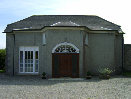 Dunsinane Housefarm house · 495 yd
 Fulacht fia in TemplescobyFulacht fia · 523 yd
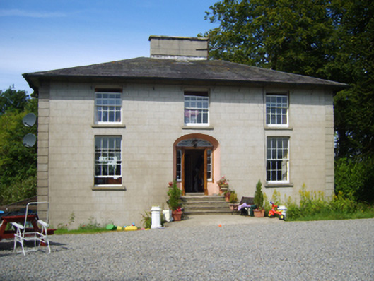 Clohass Housefarm house · 722 yd
 Daphney CastleCastle, unclassified · 1579 yd
 Duffry GateMemorial · 2.2 mi
 U.N. Peace MemorialMonument · 2.2 mi
 Battle of Vinegar HillMajor battlefield · 2.3 mi
 National 1798 CentreMuseum · 2.3 mi
 Killoughrum ForestForest · 2.5 mi
 CastleCastle, ringwork · 2.5 mi
 Pedunculate OakPedunculate Oak · 5.1 mi