What is recorded here
Situated on an E-facing slope. An orthostat 1.2m high and aligned NE-SW, stands here. Another stone, probably but not certainly in situ, leans against its more southerly face. There are traces of a mound around the stones. The two stones might be the remnants of a megalithic tomb. (De Valera and Ó Nualláin 1982, 99, No.11)
The above description is derived from 'The Archaeological Inventory of County Tipperary. Vol. 1 - North Tipperary' compiled by Jean Farrelly and Caimin O'Brien (Dublin: Stationery Office, 2002).
From the National Monuments Service (Archaeological Survey of Ireland) record TN039-018
The monument record does not grant public access. Check the route and ask the landowner before entering private land.
- What survives
- Recorded monument
Places near here
Photo credits
- National Inventory of Architectural Heritage
- Wanfried-Dublin, Wikimedia Commons · CC BY-SA 4.0
- Garry Dickinson, Geograph · CC BY-SA 2.0
- Mike Searle, Geograph · CC BY-SA 2.0
- Sarah777, Wikimedia Commons · Public domain
- Colin Park, Geograph · CC BY-SA 2.0
- Antony Dixon, Wikimedia Commons · CC BY-SA 2.0
- Miguel Angel Masegosa Martínez, Wikimedia Commons · CC BY 2.0
- P L Chadwick, Geograph · Creative Commons Attribution-ShareAlike 2.0
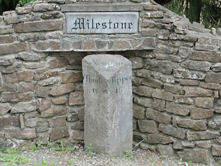 milestone/milepost972 yd
.jpg/250px-KnockcurraghbolanCommons-TN39-009_(4).jpg "Photo: Wanfried-Dublin, Wikimedia Commons · CC BY-SA 4.0") Wedge tomb in Knockcurraghbola CommonsWedge tomb · 1.3 mi
Wedge tomb in Knockcurraghbola CommonsWedge tomb · 1.3 mi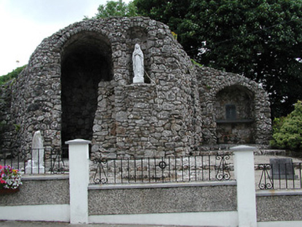 shrine/oratory/grotto2.7 mi
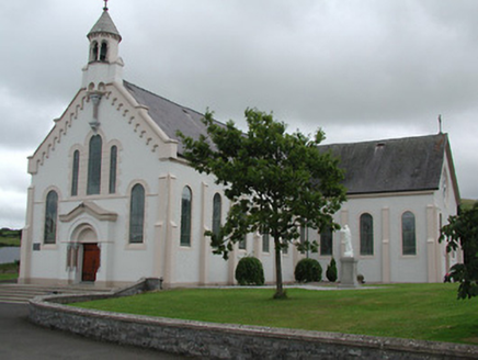 Catholic Church of the Sacred HeartChurch/chapel · 2.8 mi
 CastleCastle, motte and bailey · 4.3 miDrum WoodWood · 5.1 mi
 Bawn in Cullahill (glenkeen Par.)Bawn · 5.9 mi
 Keeper HillMountain / peak · 9.3 mi
 Silvermines ViewpointViewpoint · 9.6 mi
 Slieve FelimMountain / peak · 9.9 mi
 Sweet Chestnut9.9 mi
 Kilmore Church (in Ruins), GraveyardGraveyard · 11 mi
More archaeology and monuments in County Tipperary · All of County Tipperary
What do you know about this place?