
What is recorded here
Marked 'Cromlech' on 1842 OS 6-inch map. Not shown on 1903 or 1940 OS 6-inch maps. Removed. Sports field now occupies site. According to de Valera and O Nualláin (1982, 45, no. 13), 'The 1842 Memoranda describe the object as...."a very perfect Cromlech or Druid's Altar". The original nature of the feature is uncertain.
The above description is derived from the published 'Archaeological Inventory of County Cork. Volume 3: Mid Cork' (Dublin: Stationery Office, 1997). In certain instances the entries have been revised and updated in the light of recent research.
Date of upload/revision: 14 January 2009
Megalithic tomb in Cúil Aodha is a portal dolmen dating to the Neolithic period. Its significance lies in its early documentation on 19th-century maps, providing evidence of prehistoric funerary practices in the region before the site was lost to modern development.
The monument record does not grant public access. Check the route and ask the landowner before entering private land.
- What survives
- Recorded monument
Places near here
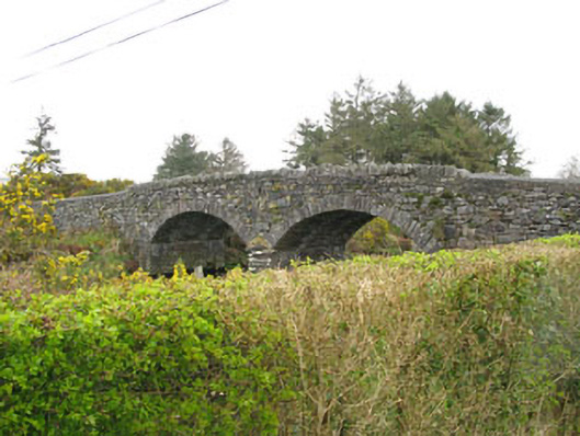 Milleeny Bridgebridge · 161 yd
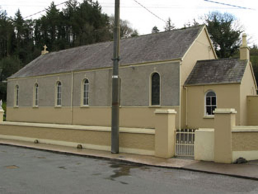 Séipéal Ghobnatan [Saint Gobnet's Catholic Church]church/chapel · 458 yd
 Man-made underground passage in Doire An ChuillinnMan-made underground passage · 846 yd
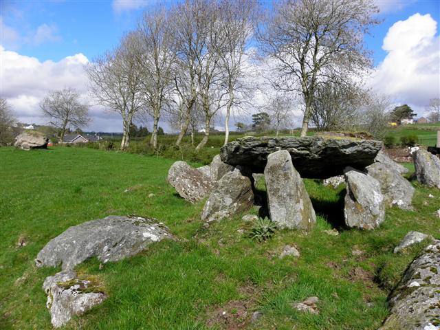 Wedge tomb in Cúil AodhaWedge tomb · 1024 yd
 Sli Gaeltacht MuscraiWalking route · 1.7 mi
 CastleCastle, unclassified · 2.2 mi
 European long distance path E8 - part IrelandWalking route · 2.5 mi
 Cascade WoodWood · 2.6 mi
 Castle (Site of)Castle, unclassified · 2.7 mi
 An Coimín BuíMountain / peak · 2.8 mi
 Kealaboane WoodWood · 2.9 mi
 An Cnoc BuíMountain / peak · 3.0 mi
Other information
Photo: Credit not shown in the picture search · Rights wording not checked; contact us if this picture should be removed