
What is recorded here
On top of a low hillock in upland region with commanding views of the Galtee mountains to the S. Poorly preserved remains of a possible megalithic structure that was once covered by a cairn (diam. 8m N-S; 8m E-W) that has since been robbed out. The remains consist of several low orthostats protruding from the surface of the low hillock forming no clearly discernible shape with possible remains of kerb stones visible to E and N only. According to a local landowner this was the site of fairy stones and it was considered bad luck to tamper with them.
Compiled by: Jean Farrelly
Date of upload: 26 August 2011
The monument record does not grant public access. Check the route and ask the landowner before entering private land.
- What survives
- Recorded monument
Places near here
 GlenaneaghMountain / peak · 704 yd
 Ring HillMountain / peak · 797 yd
 IndicatedFairy fort / earthen ringfort · 1663 yd
 Enclosure in Turraheen UpperEnclosure · 1.2 mi
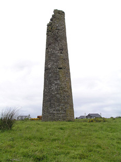 Hollyford Copper Mineschimney · 1.8 mi
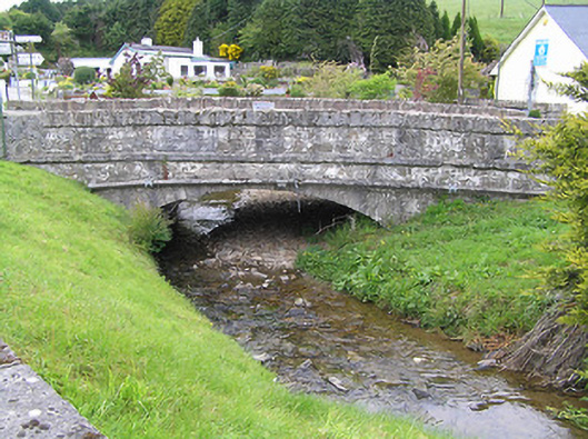 Hollyford Bridgebridge · 2.4 mi
 Drum WoodWood · 3.1 mi
 Site of Cashlauncreen CastleCastle, tower house · 3.1 mi
 Drumbane CastleCastle · 3.8 mi
 Gortard WoodForest · 4.5 mi
 Soloheadbeg Ambushambush · 9.5 mi
 Soloheadbeg Ambush SiteMemorial · 10 mi
Other information
Photo: Credit not shown in the picture search · Rights wording not checked; contact us if this picture should be removed