What is recorded here
On a poorly drained E-facing slope of rising ground in an upland area with good views from the N-E-S. This monument, identified from an aerial photograph (GSI, R. 360/59; 16/04/74), was heavily overgrown with reeds at the time of inspection. The monument consists of a low sunken circular area (diam. 11.5m; ext. D 0.1m) with traces of a second bank (Wth 2m; ext. H 0.3m) only visible at the SE.
Compiled by: Jean Farrelly
Date of upload: 26 August 2011
The monument record does not grant public access. Check the route and ask the landowner before entering private land.
- What survives
- Recorded monument
Places near here
 Fulacht fia in AughvallydeagFulacht fia · 491 yd
 Enclosure in ReafaddaEnclosure · 654 yd
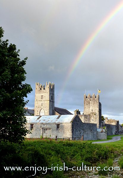 FalleennafinogaMountain / peak · 945 yd
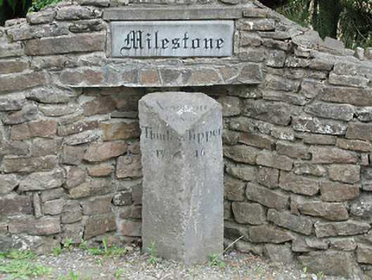 milestone/milepostmilestone/milepost · 1615 yd
 GlenaneaghMountain / peak · 1.3 mi
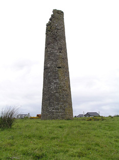 Hollyford Copper Mineschimney · 1.9 mi
 Site of Cashlauncreen CastleCastle, tower house · 2.6 mi
 Drum WoodWood · 4.6 mi
 Drumbane CastleCastle · 4.7 mi
 Green Field ParkWood · 7.1 mi
 Silvermines ViewpointViewpoint · 10 mi
 Soloheadbeg Ambushambush · 10 mi