
What is recorded here
From the National Monuments Service (Archaeological Survey of Ireland) record LH004-062
Places near here
Photo credits
- Maker not stated on source page, en.wikipedia.org
- Maker not stated on source page, uk.pinterest.com
- TommyMurf, Wikimedia Commons · CC BY-SA 4.0
- National Inventory of Architectural Heritage
- Eric Jones, Geograph · CC BY-SA 2.0
- Eric Jones, Geograph · Creative Commons Attribution-ShareAlike 2.0
- Maker not stated on source page, commons.wikimedia.org
- Maker not stated on source page, www.dreamstime.com
- Maker not stated on source page, monumentalireland.ie
 Earthwork in WhitemillEarthwork · 218 yd
Explorer Tom Earthwork in Whitemill complains to the council about being called a fort when it’s just dirt. It’s an enclosure with a…
 Anomalous stone group in Faughart UpperAnomalous stone group · 313 yd
Explorer Tom Anomalous stone group in Faughart Upper is four stones standing in a row, probably discussing whether they should move.…
 Battle of FaughartMajor battlefield · 733 yd
Explorer Tom The Battle of Faughart happened here in 1318, and its least favourite visitor is definitely anyone bringing a picnic…
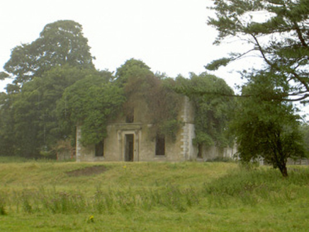 WoodlawnHouse · 755 yd
Explorer Tom Woodlawn is crumbling in Faughart Upper, and its least favourite visitor is definitely a badger with a grudge. It used…
 Faughart MoundCastle, motte · 873 yd
Explorer Tom Faughart Mound is where a cow once tried to buy the whole place because she thought it was a particularly good grazing…
 Church (in ruins)Church · 903 yd
Explorer Tom Church in Faughart Upper is built like a brick wall with granite boulders and thin slabs. It would win the county…
 Grave YardGraveyard · 908 yd
Explorer Tom Graveyard in Faughart Upper claims Queen Victoria stopped by for a sandwich once. There's a carved cherub there that…
 Earthwork in MonascreebeEarthwork · 1165 yd
Explorer Tom Earthwork in Monascreebe is playing hard to get. Legend has it a goat once ruled this hill and demanded cheese taxes. I…
Earthwork in Faughart UpperEarthwork · 1261 ydExplorer Tom Earthwork in Faughart Upper was a fort until someone moved it, because apparently ancient people had strong opinions on…
 Flat cemetery in Faughart LowerFlat cemetery · 1440 yd
Explorer Tom Faughart Lower was dug up for a bypass, finding prehistoric pots next to cremated bones. A tragic love story ended…
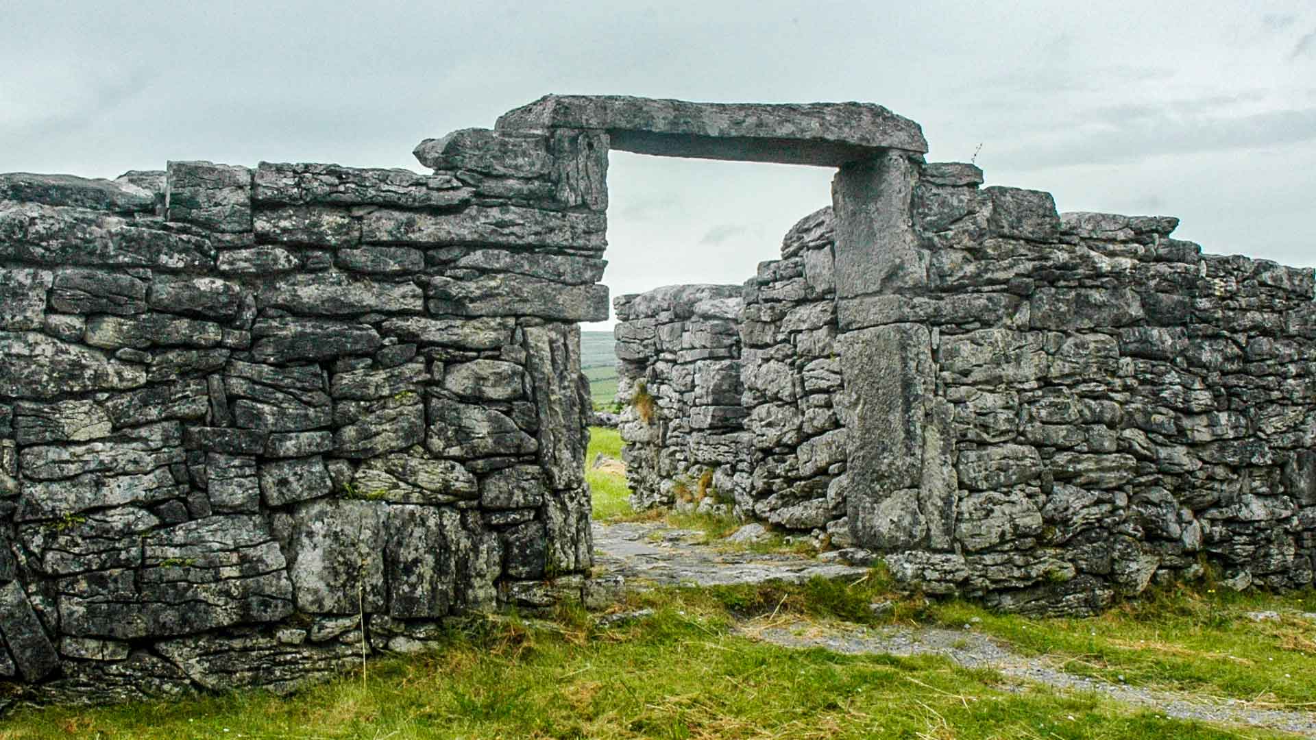 Fairy fort / earthen ringfort in Carn MoreFairy fort / earthen ringfort · 1625 yd
Explorer Tom Fairy fort in Carn More would introduce itself as 'the half-done masterpiece of the century.' It’s just the north-east…
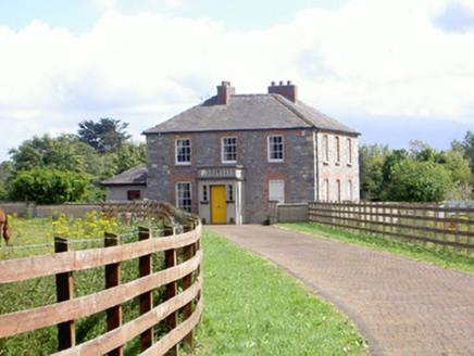 Mount Saint FrancesHouse · 1696 yd
Explorer Tom Mount Saint Frances in Aghaboys has a porch with balustrades that look like they’re judging your posture. Some bishop…
More archaeology and monuments in County Louth · All of County Louth

What do you know about this place?Tap to add a comment or ask a question