
What is recorded here
Not included in the SMR (1989) but listed in the RMP (1995) and classified 'Mass Rock'. In the fosse at the NNE of Rathbarran barrow (SL025-071001-) is a large boulder (1.3m x 1.4m; H 0.75m). It is known by the people in the locality as a mass-rock. The classification mass-rock is likely to be post-1700 AD in date.
Compiled by: Archaeological Survey Unit, UCC
Date of upload: 11 January 2012
A local holy well or ritual site; wider significance not recorded.
The monument record does not grant public access. Check the route and ask the landowner before entering private land.
- What survives
- Recorded monument
Places near here
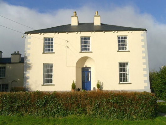 Rathbarran Houserectory/glebe/vicarage/curate's house · 91 yd
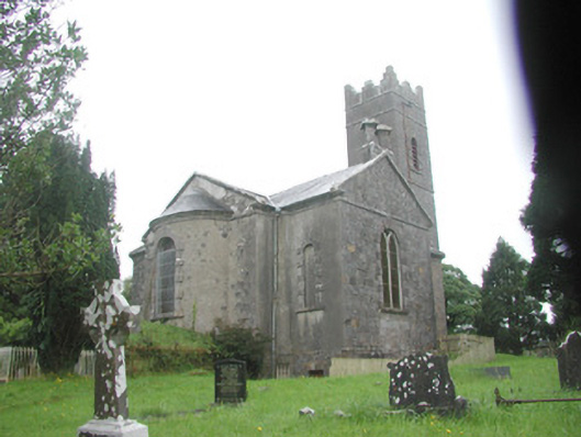 Killoran Churchchurch/chapel · 189 yd
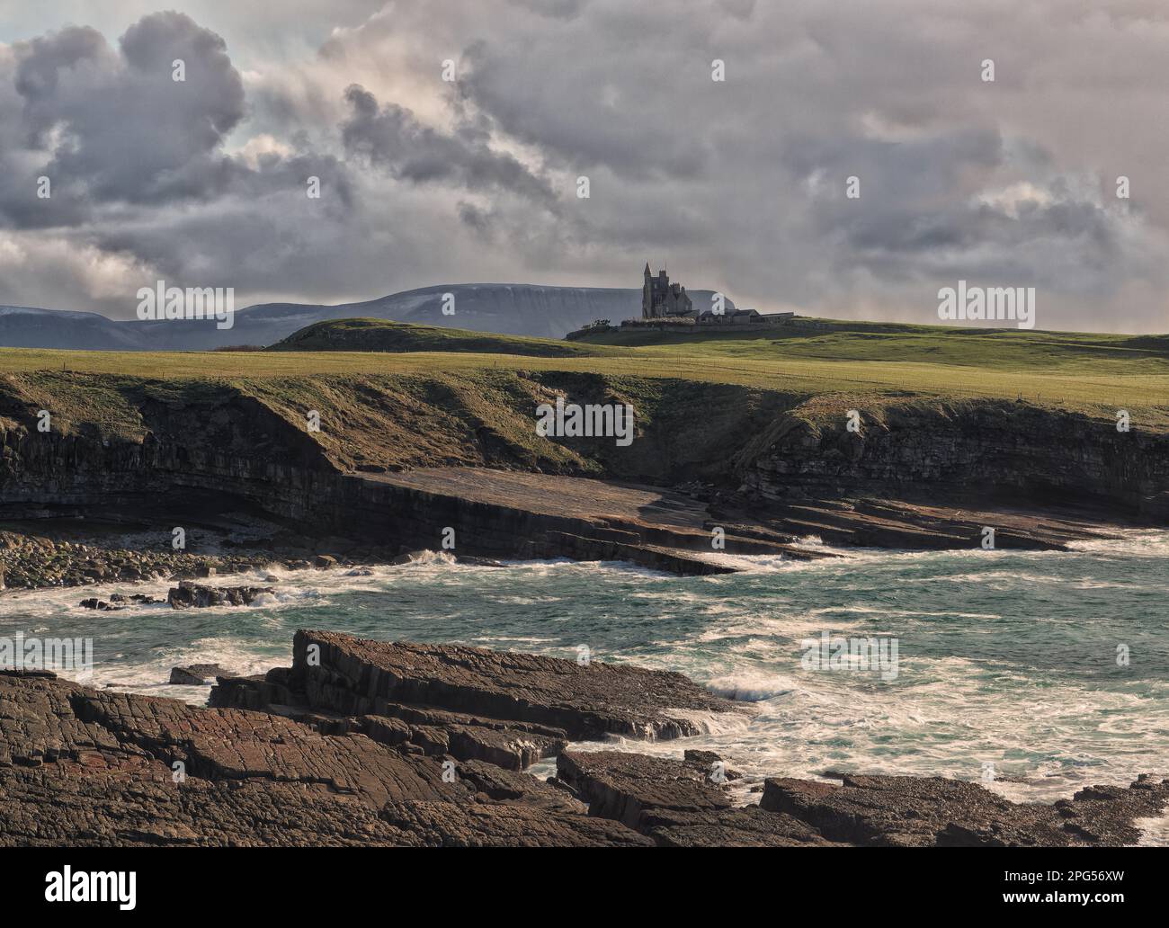 IndicatedFairy fort / earthen ringfort · 315 yd
 Enclosure in CarrownacarrickEnclosure · 1233 yd
 Moymlough Castle (in Ruins)Castle, tower house · 2.1 mi
 Tullaghan HillMountain / peak · 2.3 mi
 European ashEuropean ash · 2.5 mi
 DoomoreMountain / peak · 2.8 mi
 ElderElder · 3.0 mi
 Castle (Site of)Castle, unclassified · 4.1 mi
 RinnatalleenHeadland · 4.5 mi
 Teeling MonumentMemorial · 5.2 mi
Other information
Photo: Credit not shown in the picture search · Rights wording not checked; contact us if this picture should be removed