What is recorded here
In reclaimed pasture. Rectangular limestone block immediately NE of limestone outcrop (H c. 2m); block recently disturbed by machinery but subsequently replaced in original location, though upturned. Known locally as mass rock. See also:
June 2000, unpublished archaeological assessment report by Eachtra Archaeological Projects.
From the National Monuments Service (Archaeological Survey of Ireland) record CO018-042
The monument record does not grant public access. Check the route and ask the landowner before entering private land.
- What survives
- Recorded monument
Places near here
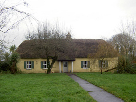 farm house780 yd
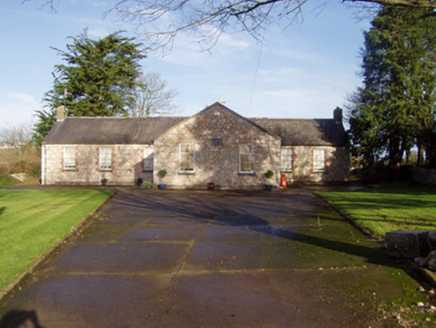 school1031 ydFlat cemetery in Ballyenahan NorthFlat cemetery · 1.1 miNorth Meadow WoodForest · 1.6 miHorse Field WoodForest · 1.6 miAnne's Grove GardensHeritage attraction · 2.9 mi
 Grave YardGraveyard · 3.3 mi
 CarrigeenamronetyMountain / peak · 4.2 miGraveyard in BoherashGraveyard · 4.5 mi
 Glanworth Castle (in Ruins)Castle, Anglo-Norman masonry castle · 4.7 mi
 Glanworth CastleCastle · 4.7 mi
 LabbacalleeWedge tomb · 6.0 mi
Pictures: National Inventory of Architectural Heritage; john salter, Geograph · Creative Commons Attribution-ShareAlike 2.0; CaitNi, Wikimedia Commons · CC BY-SA 4.0; Colin Park, Wikimedia Commons · CC BY-SA 2.0; The Speckled Bird, Wikimedia Commons · CC BY-SA 4.0; VisionsofthePast, Wikimedia Commons · CC BY-SA 4.0
More archaeology and monuments in County Cork · All of County Cork
What do you know about this place?