What is recorded here
On the W bank of a stream within the NE quadrant of a large enclosure (LA035-049----), in a flat river valley. The stream forms the county boundary between Laois and Kilkenny. The land rises to the S and W within the large enclosure. A large conglomerate boulder (dims. 2.1m x 1m; H 0.66m to W; H 1m to E), roughly aligned N-S. The rough, broad, upper surface of the boulder faces westward into the enclosure but does not form level surface as it slopes continuously from E to W. Possible tradition of this being a mass-rock. It is possible that the large enclosure may have ecclesiastical origins, which may explain the association of the boulder with a religious activity.
Compiled by: Jean Farrelly
Date of upload: 6 June 2017
A mass-rock used during the Penal Times when Catholic worship was outlawed; such sites were often hidden and used for secret religious gatherings. Local tradition associates these rocks with both spiritual resistance and the veneration of itinerant saints.
The monument record does not grant public access. Check the route and ask the landowner before entering private land.
- What survives
- Recorded monument
Places near here
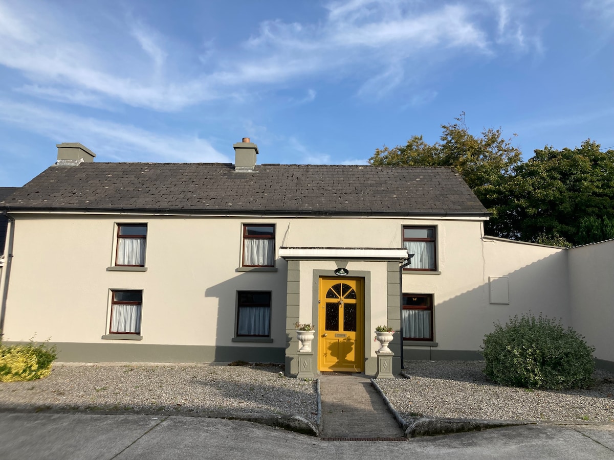 Not indciatedEnclosure · 71 yd
 CastleCastle, unclassified · 494 yd
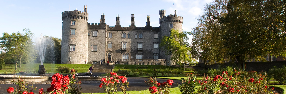 IndicatedFairy fort / earthen ringfort · 727 yd
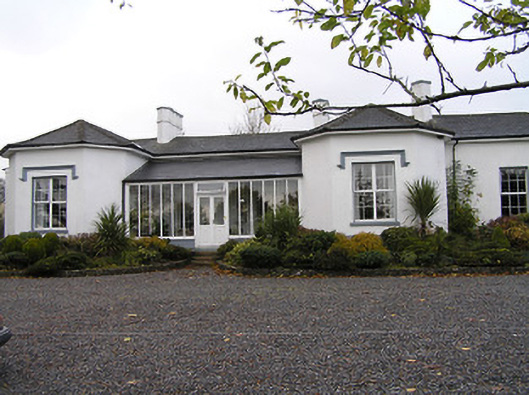 Seskin Househouse · 771 yd
 Mountgarret Castle (in ruins)Castle, unclassified · 795 yd
 Church in Glebe (clanmallagh By., Durrow Ed),grenanChurch · 1.1 mi
 Anker's IslandIsland · 1.5 mi
 Street fieldArchaeological place · 5.4 mi
 Big WoodWood · 5.4 mi
 Clomantagh HillMountain / peak · 6.7 mi
 DelaneyMemorial · 7.9 mi
 Cnoc SeanrathaMemorial · 8.3 mi