What is recorded here
On a low rise of ground in undulating countryside with good views in all directions. The Civil Survey (1654-6) (Simington 1934, vol. 2, 101-2) mentions a 'decayed thatcht house' in the lands of 'Bealanahamore West Corbally & Fana' which have been identified with the modern townland of Marlow. The house had been tentatively identified with Marlow House, which on field inspection was found to be an early 18th-century two-storey, three-bay over basement house with a dormer attic and a 19th-century tower added to the W side. The exact location of the 16th/17th century house is unknown.
Compiled by: Jean Farrelly
Date of upload: 26 August 2011
The monument record does not grant public access. Check the route and ask the landowner before entering private land.
- What survives
- Recorded monument
Places near here
 Enclosure in MarlowEnclosure · 272 yd
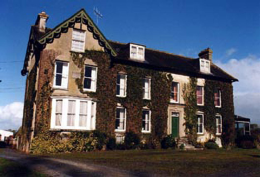 Marlow Househouse · 486 yd
 IndicatedFairy fort / earthen ringfort · 1031 yd
 Graigone Castle (in ruins)House, fortified house · 1609 yd
 Drum WoodWood · 1725 yd
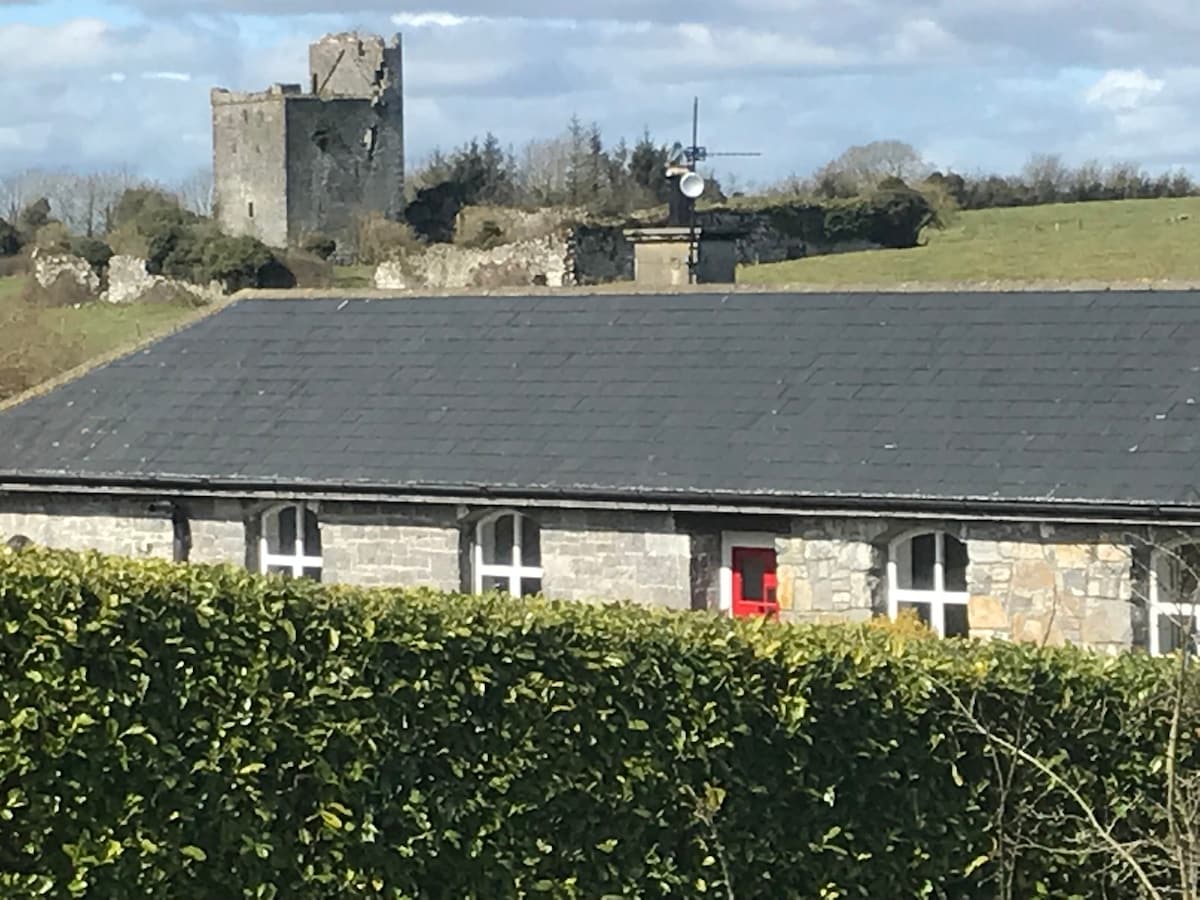 Bawn in Clonyharp (clogher Par.)Bawn · 1749 yd
 RoadRoad, road/trackway · 1.1 mi
 Clonoulty HillMountain / peak · 1.1 mi
 Ring HillMountain / peak · 3.6 mi
 Cormackstown Heritage CentreMuseum · 4.7 mi
 Wych ElmWych Elm · 5.1 mi
 Megalithic structure in Corbally (clogher Par.)Megalithic structure · 1727 yd