
What is recorded here
On a slight rise of ground in undulating countryside with nearby stream to E. Described by Murphy (1927, 65) as 'The Druidical Stones of Clonoulty', consisting of two parallel lines c. 18m of 'large rough slabs, standing on edge, and all (except those obviously displaced) are in alignment'. It is not indicated on the 1st (1840) ed. OS 6-inch map. There are no visible remains at ground level. Large boulders have been dumped in the field boundary to the E of the monument's location.
Compiled by: Jean Farrelly
Date of revised upload: 26 May 2015
This remains an important historical record, but the official description says the monument is no longer visible or has been destroyed. The monument record does not grant public access. Check the route and ask the landowner before entering private land.
- What survives
- No visible remains or recorded as destroyed
Places near here
 IndicatedFairy fort / earthen ringfort · 715 yd
 RoadRoad, road/trackway · 873 yd
 Clogher Church (in ruins)Church · 917 yd
 Graigone Castle (in ruins)House, fortified house · 931 yd
 St. Johns WellHoly well · 1023 yd
 Clonoulty HillMountain / peak · 1028 yd
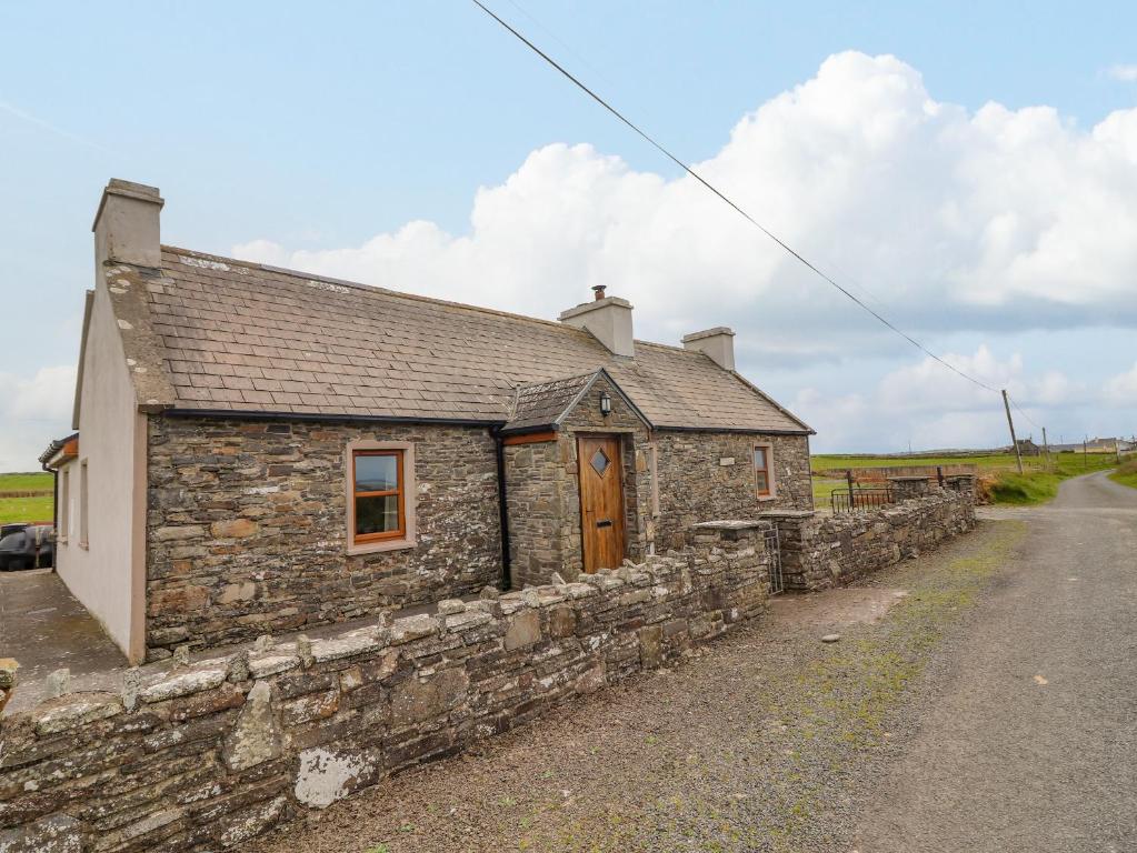 Bawn in ClogherBawn · 1102 yd
 Drum WoodWood · 1.8 mi
 Ring HillMountain / peak · 4.4 mi
 Wych ElmWych Elm · 4.6 mi
 Cormackstown Heritage CentreMuseum · 4.8 mi
 Soloheadbeg Ambushambush · 11 mi
Other information
Photo: Credit not shown in the picture search · Rights wording not checked; contact us if this picture should be removed