What is recorded here
From OpenStreetMap (© OpenStreetMap contributors) w278719824
Places near here
Photo credits
- Maker not stated on source page, www.dreamstime.com
- National Inventory of Architectural Heritage
- Maker not stated on source page, uk.pinterest.com
- Maker not stated on source page, www.geograph.ie
- Maker not stated on source page, tr.pinterest.com
- Mike Parker, Wikimedia Commons · CC BY-SA 2.0
- Maker not stated on source page, www.locationscout.net
 Church (in ruins)Church · 9 yd
Explorer Tom Church in Gardenblake claims to be from the Bronze Age, but it looks like it just fell over from boredom. The walls are…
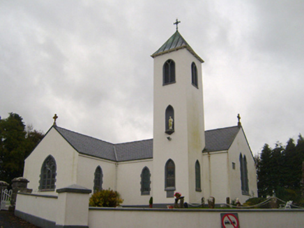 Saint Thomas's Catholic ChurchChurch/chapel · 660 yd
Explorer Tom Saint Thomas's Catholic Church in Gardenblake has a holy water stoup older than the building itself, which is just…
 Saint Peter's WellHoly well · 810 yd
Explorer Tom Saint Peter's Well in Cuilmore has been soaking up prayers since before your nan was born. If it won the lotto, it’d…
 gates/railings/walls985 yd
Explorer Tom Gates in Cuilmore would bring drama to any party, mostly because they’re too fancy for their own good. The ironwork is…
 bridge1165 yd
Explorer Tom The Bridge in Ballycahalan is best friends with a local celebrity who is actually just a very persistent heron that…
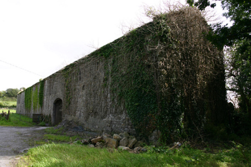 Cappard HouseOutbuilding · 1209 yd
Explorer Tom Cappard House outbuilding is having a fairy dispute over parking rights in its courtyard. The main house is gone, but…
 Kenny's BridgeBridge · 1296 yd
Explorer Tom Kenny’s Bridge in Farnaun has strict rules: no running, no singing, and absolutely no bad puns. The V-cut waters show…
 Fairy fort / earthen ringfort in KilcarrooraunFairy fort / earthen ringfort · 1.2 mi
Explorer Tom Fairy fort / earthen ringfort in Kilcarrooraun has a gap that might be an entrance, or just where the earth gave up. A…
 Fairy fort / earthen ringfort in DromorehillFairy fort / earthen ringfort · 1.3 mi
Explorer Tom Fairy fort / earthen ringfort in Dromorehill has an underground passage in the northwest quadrant, which is fancy for a…
 Standing stone in KilcarrooraunStanding stone · 1.3 mi
Explorer Tom A quartz pillar stone in Kilcarrooraun stands inside a rath, having lost its partner from a possible original stone…
 Ballylee CastleCastle, tower house · 1.4 mi
Explorer Tom Ballylee Castle is Thoor Ballylee’s dramatic cousin who forgot to invite me to the party. The archive is empty, so I’m…
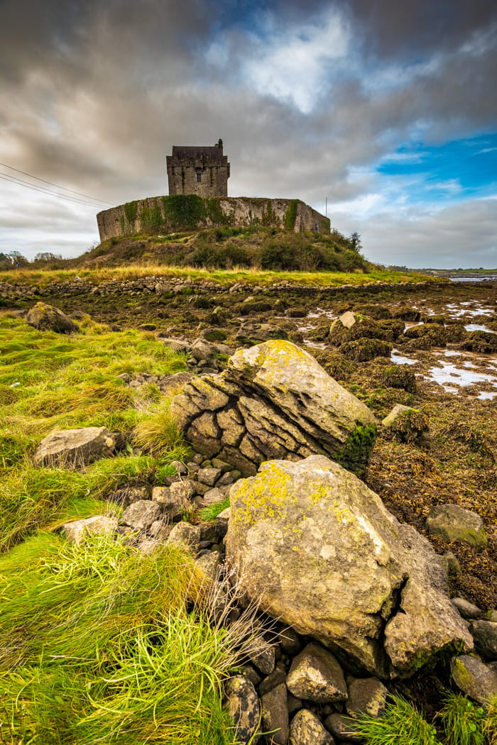 CastleCastle, tower house · 1.9 mi
Explorer Tom Castle in Castledaly sits at the foot of Slieve Aughty, looking like it just woke up from a long nap. It was once…
More memorials and graveyards in County Galway · All of County Galway

What do you know about this place?Tap to add a comment or ask a question