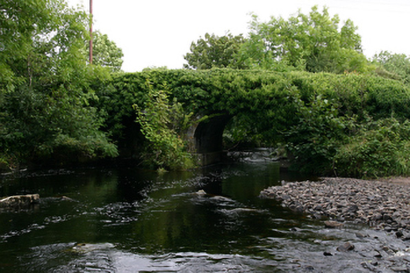
What is recorded here
Double-arch bridge, built c.1760, carrying road over Ballycahalan River. Round arches with tooled voussoirs. Coursed dressed walls with plinth to piers. Rubble limestone parapet walls. V-cutwaters to upstream (east) elevation.
Tooled limestone work adds textural interest to this modest coursed rubble bridge. The structure is a testament to the skill of local craftsmen in the eighteenth century, with the V-cutwaters illustrating the tailoring of the structure to local river conditions.
This does not grant access. Most recorded buildings are privately owned; view them only from public ground unless the owner allows entry.
Places near here
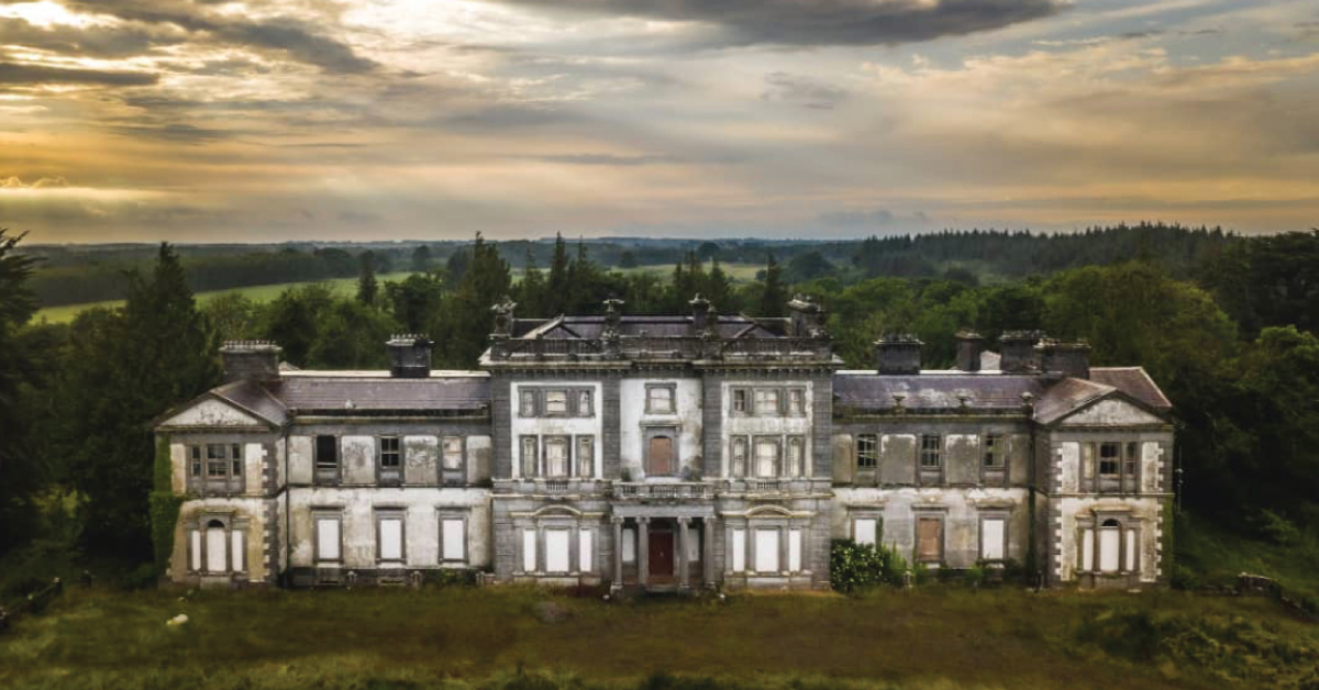 Enclosure in Doonally WestEnclosure · 439 yd
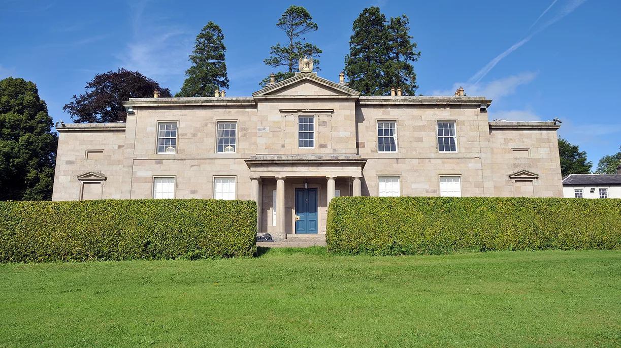 Cappard Ho.House, 18th/19th century · 1087 yd
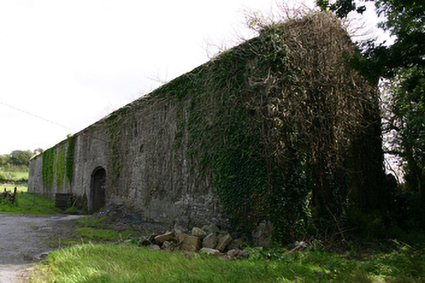 Cappard Houseoutbuilding · 1199 yd
 IndicatedFairy fort / earthen ringfort · 1669 yd
 CastleCastle, unclassified · 1.7 mi
 Bawn in BallyconnellBawn · 1.9 mi
 KnockapollboyMountain / peak · 3.3 mi
 European ashEuropean ash · 3.3 mi
 HawthornHawthorn · 3.4 mi
 KnocknarebanaMountain / peak · 3.8 mi
 Holly IslandIslet · 4.6 mi
 Scalpeen RockNamed rock · 4.7 mi
Other information
Photo: National Inventory of Architectural Heritage · Website use allowed for educational or private purposes with source credit