What is recorded here
This monument was inspected in 1976 and described as a possible collapsed Man-made underground passage located in the SE quadrant of a ringfort (WM033-005----) situated on a small natural hillock which is surrounded by low-lying marshy land. Old field boundaries running roughly E-W can be seen to the S of the ringfort and a deep drain running N-S is located to the E. A shallow depression (L. c. 22.5m; Wth. 5.2m; D 1.45m) running along the inner face of the bank from the entrance gap to the E may be the remains of a collapsed Man-made underground passage' (SMR file).
Compiled by: Caimin O'Brien
Date of upload: 02 July 2013
The monument record does not grant public access. Check the route and ask the landowner before entering private land.
- What survives
- Recorded monument
Places near here
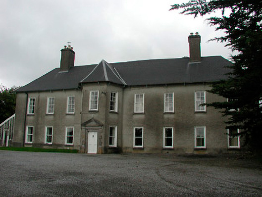 Carrick Housecountry house · 1204 yd
 Corn Mill & Tuck MillWater mill, unclassified · 1290 yd
 OutlinedFairy fort / earthen ringfort · 1368 yd
 Partially hachuredFairy fort / earthen ringfort · 1516 yd
 Robinstown CastleCastle · 1.1 mi
 CastleCastle, tower house · 1.2 mi
 Mollie Moo's Pet FarmHeritage attraction · 1.9 mi
 Dysart IslandIsland · 2.7 mi
 Ash IslandIslet · 2.9 mi
 Derrygreenagh HillMountain / peak · 5.8 mi
 Ardan WoodWood · 6.5 mi
 Bonfire HillMountain / peak · 7.1 mi