What is recorded here
Poorly preserved ringfort situated on slight S facing slope, with ringfort (WM033-004----) located 160m to the SE. Present remains consist of a small circular raised area (diam. 19m NNW-SSE) enclosed by a poorly preserved bank mainly reduced to a scarp with traces of a possible external fosse which is only visible from S to W and may be a later feature. There is no evidence of an entrance feature. The site is covered with scrub and thorn bushes making detailed examination impossible. A pathway running roughly N-S is depicted running across the centre of the site as depicted on the revised editions of the OS 6-inch map.
Compiled by: Caimin O’Brien
Date of upload: 29 March 2013
The monument record does not grant public access. Check the route and ask the landowner before entering private land.
- What survives
- Recorded monument
Places near here
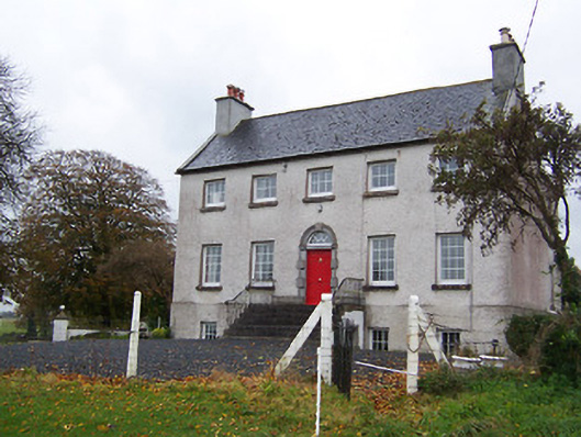 Robinstown Housecountry house · 656 yd
 Robinstown CastleCastle · 1137 yd
 FriaryReligious house, Dominican friars · 1189 yd
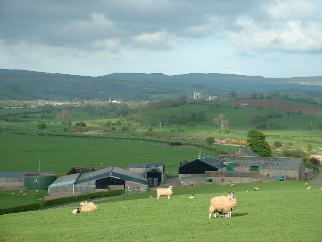 Hachured, ShantullaghFairy fort / earthen ringfort · 1297 yd
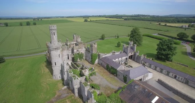 Enclosure in FriarstownEnclosure · 1485 yd
 CastleCastle, tower house · 2.0 mi
 Dysart IslandIsland · 2.3 mi
 Ardan WoodWood · 6.0 mi
 Bonfire HillMountain / peak · 6.7 mi
 High WoodWood · 9.4 mi
 St. Columba's WellSpring · 9.5 mi
 Corn Mill & Tuck MillWater mill, unclassified · 1616 yd
Other information
Photo: Credit not shown in the picture search · Rights wording not checked; contact us if this picture should be removed