What is recorded here
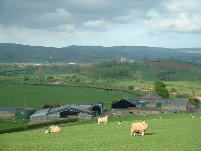
Monument surveyed by the ASI in 1976 and described as 'a small roughly circular enclosure (diam. 23m N-S; 23m E-W) bounded by a low bank of earth and stone with very slight traces of a shalllow fosse on the N and W. The bank is best preserved on the N and W and is absent on the E where there is a low scarp at the edge of the site. The bank is defaced by animal tracks on the N, W and S but there is no sign of an original entrance. The interior is slightly uneven but there are no internal features. The site is on the N end of a N-S ridge in fairly good pasture. It has extensive views in all directions. Friary site (WM032-028001-) located 75m to the SSE' (SMR File 10/08/1976).
Compiled by: Caimin O'Brien
Date of upload: 16 February 2013
A local fairy fort (ringfort/rath); wider significance not recorded.
The monument record does not grant public access. Check the route and ask the landowner before entering private land.
- What survives
- Recorded monument
Places near here
 FriaryReligious house, Dominican friars · 135 yd
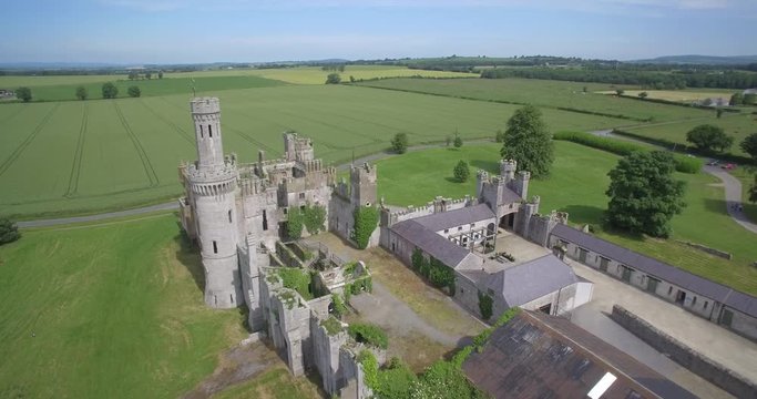 Enclosure in FriarstownEnclosure · 426 yd
 OutlinedEnclosure · 818 yd
 Dalystownhouse · 1078 yd
 Robinstown CastleCastle · 1386 yd
 CastleCastle, tower house · 1.6 mi
 Dysart IslandIsland · 2.0 mi
 Ardan WoodWood · 5.8 mi
 Bonfire HillMountain / peak · 6.4 mi
 High WoodWood · 9.0 mi
 Kilmalady HillMountain / peak · 9.0 mi
 St. Columba's WellSpring · 9.1 mi
Other information
Photo: Credit not shown in the picture search · Rights wording not checked; contact us if this picture should be removed