
What is recorded here
On a slight N facing slope in gently undulating countryside. Ringfort (WM033-022----) located 480m to W. Circular area (diam. 48.5m N-S; 48.3m E-W) defined by a low earth and stone bank mainly reduced to a scarp with traces of a shallow external fosse which has been mostly filled in. A large portion of the enclosing element of the monument has been levelled on E side where a modern field boundary running N-S intersects the enclosure. One of the gaps at SSW (Wth 1.8m) and W (Wth 1.4m) may be the original entrance feature. Possible standing stone (WM033-023001-) located in SW quadrant.
Compiled by: Caimin O’Brien
Date of upload: 26 July 2013
The monument record does not grant public access. Check the route and ask the landowner before entering private land.
- What survives
- Recorded monument
Places near here
 Calverstown Houseoutbuilding · 1064 yd
 OutlinedEnclosure · 1273 yd
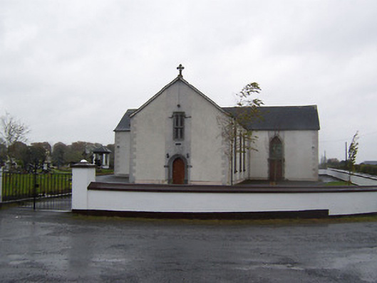 Catholic Church of the Sacred Heartchurch/chapel · 1.1 mi
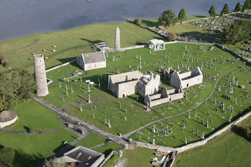 Ecclesiastical enclosure in Clonfad (fartullagh By.)Ecclesiastical enclosure · 1.3 mi
 Robinstown CastleCastle · 1.5 mi
 CastleCastle, tower house · 1.7 mi
 Dysart IslandIsland · 3.2 mi
 Ash IslandIslet · 3.5 mi
 Derrygreenagh HillMountain / peak · 5.5 mi
 Ardan WoodWood · 5.6 mi
 Bonfire HillMountain / peak · 6.3 mi
 Ancient Ring FortWood · 6.6 mi
Other information
Photo: Credit not shown in the picture search · Rights wording not checked; contact us if this picture should be removed