What is recorded here
On level pasture with good views in all directions, ringfort (WM033-023----) and standing stone (WM023-023001-) located 485m to E. Circular area (diam. 35m N-S; 38m E-W) defined by a low earth and stone bank with traces of an external fosse almost completely filled in. No clear entrance feature visible. A large gap in the bank at N appears to be a later feature. A large portion of the bank has been removed at NNW.
Compiled by: Caimin O’Brien
Date of upload: 26 July 2013
This remains an important historical record, but the official description says the monument is no longer visible or has been destroyed. The monument record does not grant public access. Check the route and ask the landowner before entering private land.
- What survives
- No visible remains or recorded as destroyed
Places near here
 Partially hachuredFairy fort / earthen ringfort · 591 yd
 Calverstown Houseoutbuilding · 662 yd
 OutlinedEnclosure · 1.0 mi
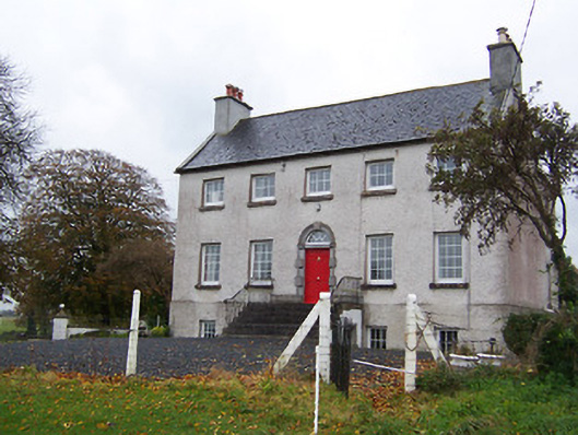 Robinstown Housecountry house · 1.1 mi
 Robinstown CastleCastle · 1.4 mi
 CastleCastle, tower house · 2.0 mi
 Ardan WoodWood · 5.5 mi
 Bonfire HillMountain / peak · 6.1 mi
 High WoodWood · 9.0 mi
 St. Columba's WellSpring · 9.1 mi
 FriaryReligious house, Dominican friars · 1.1 mi
 Dalystownhouse · 1.1 mi