
What is recorded here
Not depicted as an antiquity on any edition of the OS 6-inch maps or on the OS Fair Plan. Depicted as a small rectangular field or paddock c. 20m to the SE of a 19th century building on the 1837 ed. OS 6-inch map. The small field may be associated with this building that was constructed between 181-1837. This small field is not depicted 1818 Boyd Belvedere Map of Kilbrennan townland (WCL/M/BBE/6). On this map the building located 20m to the NW is annotated as 'Proposed Site for Building' (ibid.).
Compiled by: Caimin O’Brien
Date of upload: 31 July 2013
The monument record does not grant public access. Check the route and ask the landowner before entering private land.
- What survives
- Recorded monument
Places near here
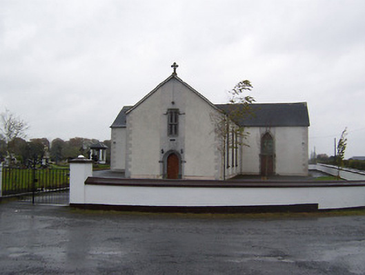 Catholic Church of the Sacred Heartchurch/chapel · 1369 yd
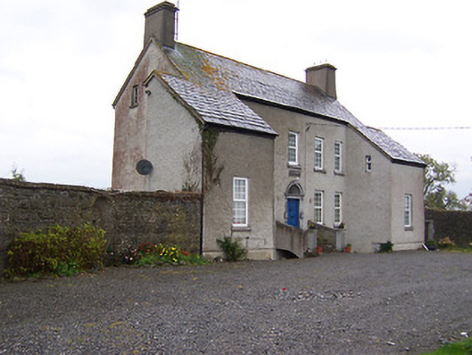 West Househouse · 1722 yd
 Partially hachuredFairy fort / earthen ringfort · 1.3 mi
 Enclosure in Castlelost WestEnclosure · 1.3 mi
 Castlelost MoatCastle, motte and bailey · 1.4 mi
 CastleCastle, tower house · 1.6 mi
 Dysart IslandIsland · 3.8 mi
 Ash IslandIslet · 4.1 mi
 Derrygreenagh HillMountain / peak · 4.8 mi
 Ardan WoodWood · 5.6 mi
 Bonfire HillMountain / peak · 6.4 mi
 High WoodWood · 9.3 mi
Other information
Photo: Credit not shown in the picture search · Rights wording not checked; contact us if this picture should be removed