What is recorded here
Situated in level pasture. Not indicated on any edition of the OS 6-inch map. Not included in the SMR (1989) but included in the RMP (1995). On inspection in 2003 there were no remains of a Man-made underground passage visible at ground level.
Compiled by: Mark Keegan
Date of upload: 19 January 2011
The monument record does not grant public access. Check the route and ask the landowner before entering private land.
- What survives
- Recorded monument
Places near here
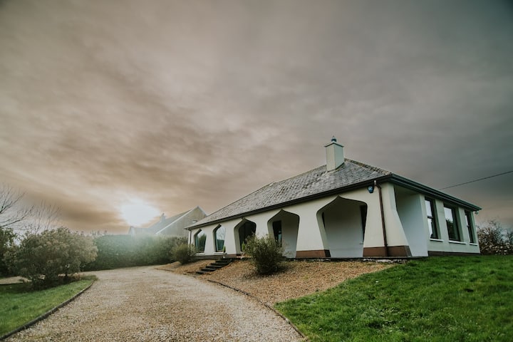 Enclosure in BunownaEnclosure · 340 yd
 Field system in BunownaField system · 419 yd
 Jim Smith MemorialMemorial · 474 yd
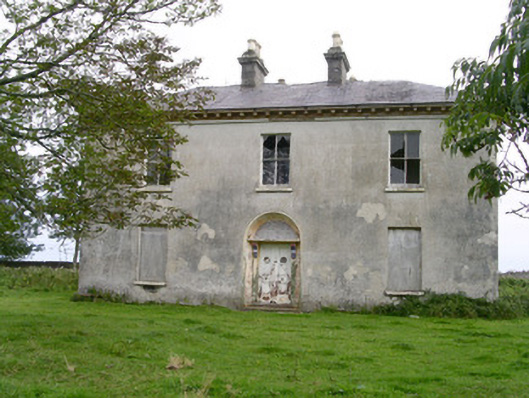 Easky Househouse · 630 yd
 Wild Atlantic Way: Easky PierVisitor information · 795 yd
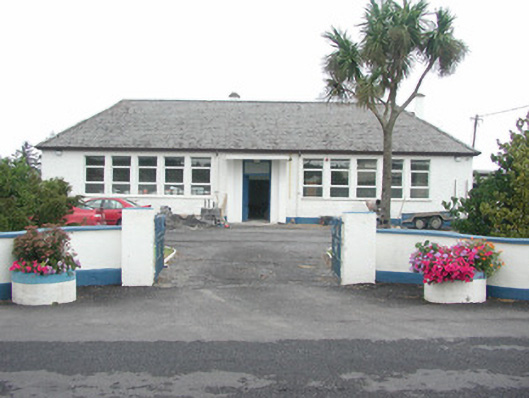 Easky Vocational Schoolschool · 813 yd
 Roslee CastleCastle, tower house · 862 yd
 Bawn in CastletownBawn · 1034 yd
 Cooanmore PointHeadland · 1162 yd
 Bunowna PointHeadland · 1228 yd
 Wild Atlantic Way: Inishcrone PierVisitor information · 7.7 mi
 Aughris BeachBeach / strand · 7.9 mi