What is recorded here
Located beneath the motte (ME008-032002-) and entered at the south. It consists of a drystone-built and lintelled passage (Wth of base 1m; Wth of top 0.7m; H 1.3m)) that curves to the E (L c. 20m), and it is collapsed at its further end.
The above description is derived from the published 'Archaeological Inventory of County Meath' (Dublin: Stationery Office, 1987). In certain instances the entries have been revised and updated in the light of recent research.
Compiled by : Michael Moore
Date of upload: 31 October 2018
The monument record does not grant public access. Check the route and ask the landowner before entering private land.
- What survives
- Recorded monument
Places near here
 The MoatCastle, motte and bailey · 32 yd
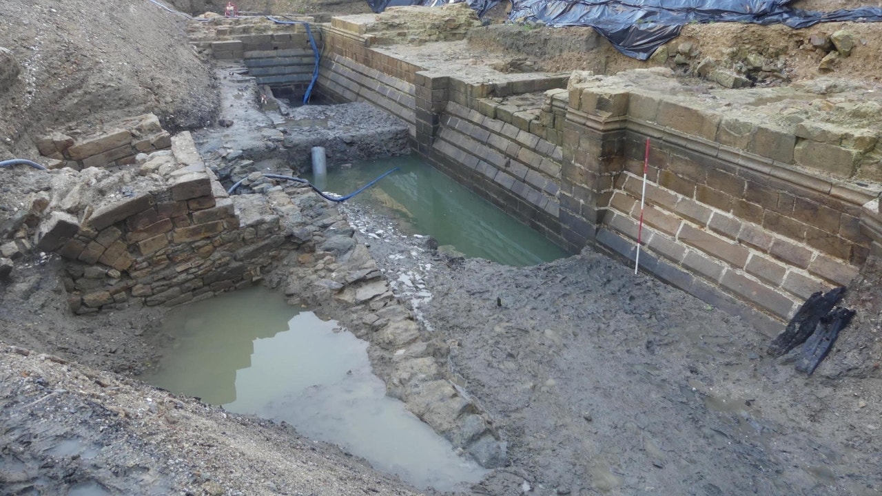 Enclosure in Moat (fore By.)Enclosure · 294 yd
 CastleCastle, unclassified · 342 yd
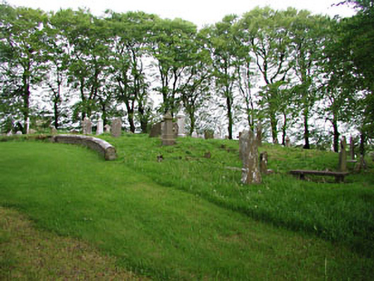 graveyard/cemeterygraveyard/cemetery · 520 yd
 European BeechEuropean Beech · 526 yd
 Ecclesiastical enclosure in Moat (fore By.)Ecclesiastical enclosure · 532 yd
 mill (water)mill (water) · 1432 yd
 Mullaghmeen ForestPicnic place · 2.0 mi
 Mount FortuneMountain / peak · 2.3 mi
 Memorial CrossMemorial · 2.5 mi
 Fennor LowerMountain / peak · 3.2 mi
 Zip WireHeritage attraction · 3.7 mi