What is recorded here
Kilsarlaght hides a man-made underground passage beneath collapsed ground in the north-west quadrant of its ringfort. The earth itself has forgotten the shape of the tunnel, swallowing the stones and leaving only a depression where human hands once cut through solid rock. Perhaps the passage served the fortress during storm or siege, giving people a hidden route to escape or observe. What is certain is that the ground still carries the weight of that forgotten purpose, pressing the tunnel back into darkness.
Collapsed ground in NW quadrant ringfort (CO140-025001-) may indicate position of Man-made underground passage.
The above description is derived from the published 'Archaeological Inventory of County Cork. Volume 1: West Cork' (Dublin: Stationery Office, 1992). In certain instances the entries have been revised and updated in the light of recent research.
Date of upload/revision: 14 January 2009
The monument record does not grant public access. Check the route and ask the landowner before entering private land.
- What survives
- Recorded monument
Places near here
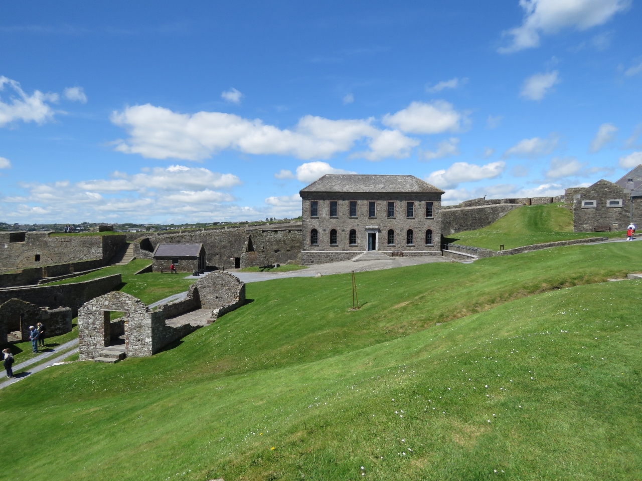 Lisbara FortFairy fort / earthen ringfort · 1 yd
 (Site of) Childrens Burial GdBurial ground · 773 yd
 Friary (in Ruins)Church · 1244 yd
 church/chapelchurch/chapel · 1262 yd
 Mannin BegIslet · 1.0 mi
 Kilcoe CastleCastle · 1.0 mi
 Mannin IslandIslet · 1.2 mi
 Rincolisky CastleCastle · 1.7 mi
 Monterey CypressMonterey Cypress · 1.8 mi
 Wild Atlantic WayVisitor information · 2.6 mi
 Trá na gCruachBeach / strand · 3.0 mi
 Cuaisín na nÚbhallBay · 3.1 mi