
What is recorded here
On E shore of Roaringwater Bay. A single length of wall (axis E-W), broken off at either end, ruins for 13m from shoreline; (max. H 3.8m; Wth c. 1.1m); low, sod-covered mound of rubble at E end. Though marked friary on OS 6-inch map, no apparent historical evidence to support this (Gwynn and Hadcock 1988, 366): O'Donoghue (1986, 16) suggests this may be site of church of 'Celcilean' parish mentioned in Papal Taxation 1199. Nearby is fragment of stone cross (CO140-054002-).
The above description is derived from the published 'Archaeological Inventory of County Cork. Volume 1: West Cork' (Dublin: Stationery Office, 1992). In certain instances the entries have been revised and updated in the light of recent research.
Date of upload/revision: 14 January 2009
The monument record does not grant public access. Check the route and ask the landowner before entering private land.
- What survives
- Recorded monument
Places near here
 Cross in KilkilleenCross · 86 yd
 CaveMan-made underground passage · 477 yd
 church/chapelchurch/chapel · 1070 yd
 Mannin BegIslet · 1606 yd
 Mannin IslandIslet · 1641 yd
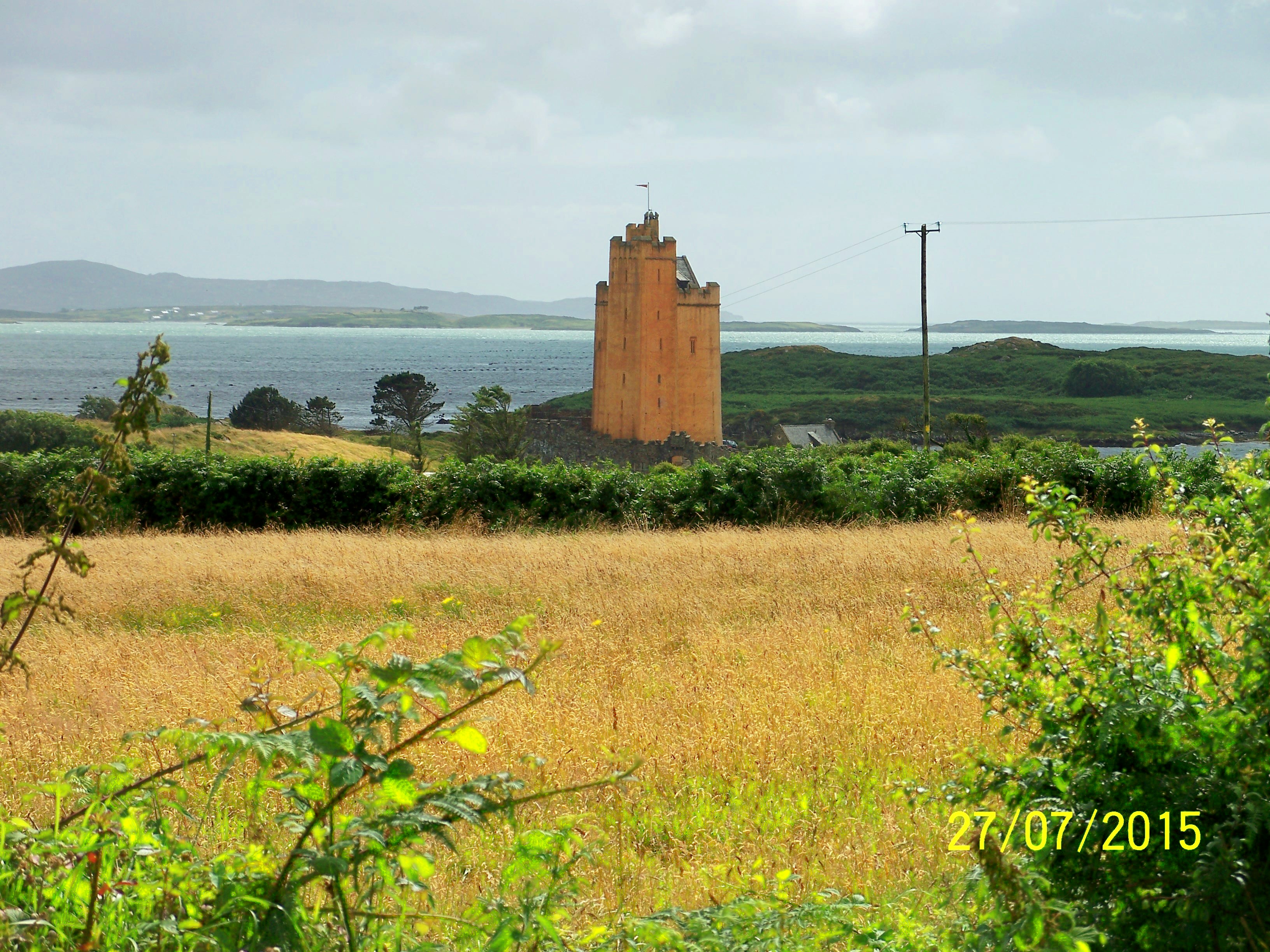
 Kilcoe CastleCastle · 1651 yd
 Rincolisky CastleCastle · 1.0 mi
 Kilcoe Church (in Ruins)Church · 1.0 mi
 Trá na gCruachBeach / strand · 2.3 mi
 Monterey CypressMonterey Cypress · 2.4 mi
 Cuaisín na nÚbhallBay · 2.4 mi
 An CuaisínBay · 2.5 mi
Other information
Photo: Credit not shown in the picture search · Rights wording not checked; contact us if this picture should be removed