
What is recorded here
From the Northern Ireland Sites and Monuments Record record ANT003:083
Places near here
Photo credits
- Richard Webb, Geograph · CC BY-SA 2.0
- Maker not stated on source page, www.dreamstime.com
- Maker not stated on source page, www.pinterest.com
- Colin Park, Geograph · CC BY-SA 2.0
- Golfing in Ireland; photographer not stated, Source publisher
- Maker not stated on source page, www.orkneyology.com
- Kenneth Allen, Geograph · CC BY-SA 2.0
- Mat Tuck, Wikimedia Commons · CC BY-SA 2.0
- Kenneth Allen, Wikimedia Commons · CC BY-SA 2.0
- Willie Duffin, Geograph · CC BY-SA 2.0
- Dr Neil Clifton, Wikimedia Commons · CC BY-SA 2.0
 Portballintrae BeachBeach / strand · 767 yd
Explorer Tom Portballintrae Beach is the small sandy pause at the heart of a village that gives its harbour much of the…
 Promontory fort in BallintraePromontory fort · 919 yd
Explorer Tom Promontory fort in Ballintrae thinks it’s a celebrity but hasn’t signed with an agent yet. It describes itself as…
 Harbour in Bushfoot or LisanduffHarbour · 947 yd
Explorer Tom Harbour in Bushfoot Or Lisanduff is so confusing that the map makers probably just guessed and hoped for the best every…
 Lissanduff EarthworksNature reserve · 1228 yd
Explorer Tom Lissanduff Earthworks above Portballintrae look like a pair of earthen rings drawn by a giant who misplaced the rest of…
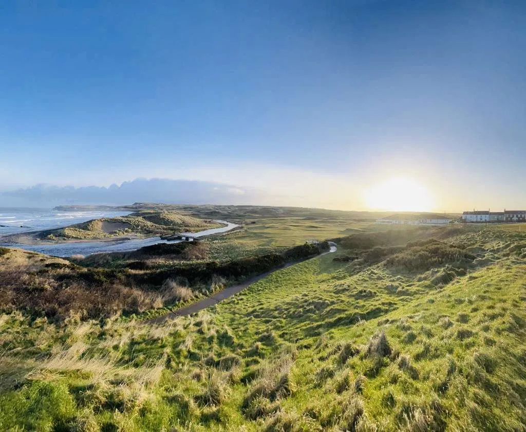 Bushfoot Golf ClubGolf course · 1424 yd
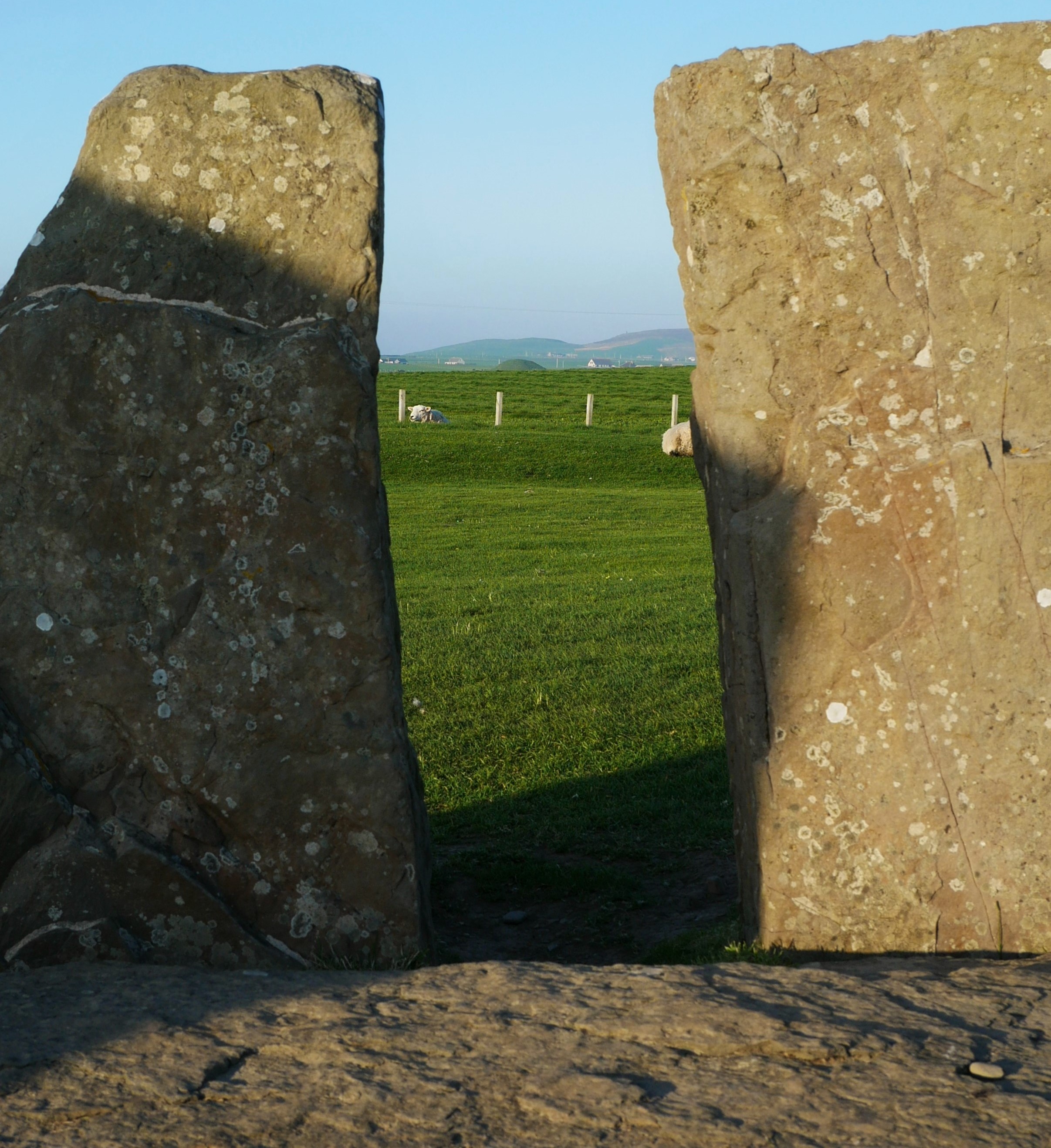 Standing stone (unlocated) in BoneyclassaghStanding stone (unlocated) · 1480 yd
Explorer Tom Standing stone in Boneyclassagh is unlocated, which is rude for a monument. The name sounds like 'boney' and 'glassy,'…
 Runkerry BeachVisitor information · 1537 yd
Explorer Tom Runkerry Beach in County Antrim would win the county fair prize for 'Most Likely To Swallow Your Boots'. It’s just…
 Post OfficeShop · 1.1 mi
Explorer Tom Post Office in County Antrim is where Saint Patrick would have left a note saying 'get a life.' It’s just a shop now…
 Alphabet AngelStatue · 1.1 mi
Explorer Tom Alphabet Angel has a curse on it that only hits people who don’t wave back when they pass. It’s very petty, like an…
 Runkerry Stand (Bushfoot)Beach / strand · 1.1 mi
Explorer Tom Runkerry Stand is officially certified by me as having the longest sandcastle collapse in County Antrim history, though…
 Old Bushmills DistilleryHeritage attraction · 1.3 mi
Explorer Tom If you ask me for a dram, first let me tell you about the water. Old Bushmills Distillery puts 1608 on the label, and…
 Graveyard: McCAUGHAN'S rundle in KilcoobinGraveyard: McCAUGHAN'S rundle · 1.6 mi
Explorer Tom McCAUGHAN'S RUNDLE in Kilcoobin brags constantly about surviving a storm so big it blew the roof off the next house…
More archaeology and monuments in County Antrim · All of County Antrim

What do you know about this place?Tap to add a comment or ask a question