What is recorded here
McCAUGHAN'S RUNDLE is a graveyard in Kilcoobin, County Antrim, where the dead have waited out centuries of uncertain dating. The name suggests one family kept its own ground apart from the main church, perhaps proud or perhaps excluded. That much is certain even when the dates are not.
The official Northern Ireland record identifies this as GRAVEYARD: McCAUGHAN'S RUNDLE. Recorded period: UNCERTAIN. The official map point was placed at the centre of the recorded archaeological site from the source map reference.
The monument record does not grant public access. Check the route and ask the landowner before entering private land.
- What survives
- Recorded monument
Places near here
 ENCLOSURE; probably tree ring in KilcoobinENCLOSURE; probably tree ring · 349 yd
 POSSIBLE ENCLOSURE in Clogher NorthPOSSIBLE ENCLOSURE · 616 yd
 ROUND CAIRN: CARNKIRK CASTLE in CarnkirkROUND CAIRN: CARNKIRK CASTLE · 1082 yd
 Former National SchoolHall · 1274 yd
 Clock TowerClock Tower · 1369 yd
 Runkerry BeachVisitor information · 1678 yd
 Old Bushmills DistilleryHeritage attraction · 1736 yd
 Runkerry Stand (Bushfoot)Beach / strand · 1.0 mi
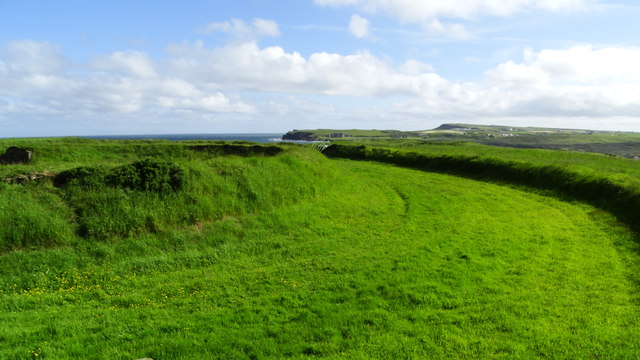 Lissanduff EarthworksNature reserve · 1.1 mi
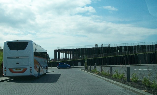 Giant's Causeway Visitor ExperienceMuseum · 1.3 mi
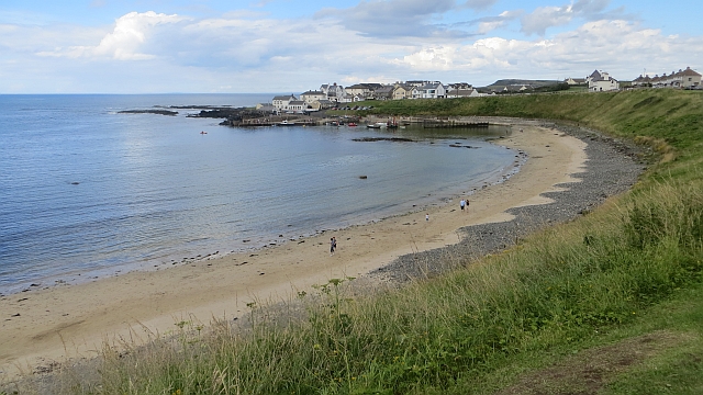 Portballintrae BeachBeach / strand · 1.4 mi
 Blue Trail, Giant's CausewayWalking route · 1.5 mi