
What is recorded here
In NE quadrant of cashel (CO069-004001-); depression indicates position. According to local information, stone-built chamber with lintelled roof, long axis N-S. Inaccessible. Further recent collapse to NW.
The above description is derived from the published 'Archaeological Inventory of County Cork. Volume 3: Mid Cork' (Dublin: Stationery Office, 1997). In certain instances the entries have been revised and updated in the light of recent research.
Date of upload/revision: 14 January 2009
The monument record does not grant public access. Check the route and ask the landowner before entering private land.
- What survives
- Recorded monument
Places near here
 IndicatedEnclosure · 945 yd
 CairnCairn, radial-stone cairn · 1735 yd
 European long distance path E8 - part IrelandWalking route · 1.1 mi
 CastleCastle, unclassified · 1.2 mi
 Sli Gaeltacht MuscraiWalking route · 1.4 mi
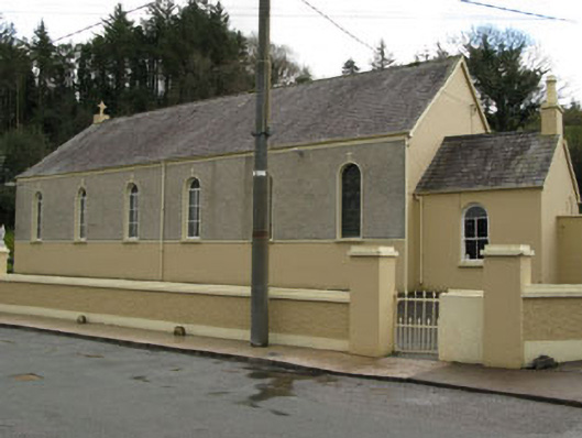 Séipéal Ghobnatan [Saint Gobnet's Catholic Church]church/chapel · 1.6 mi
 Séipéal Naomh Lachtáin [Saint Lachteen's Catholic Church]church/chapel · 1.6 mi
 Kealaboane WoodWood · 2.4 mi
 Castle (Site of)Castle, unclassified · 2.7 mi
 Cascade WoodWood · 2.8 mi
 MweelinMountain / peak · 3.4 mi
 An Coimín BuíMountain / peak · 3.9 mi
Other information
Photo: Credit not shown in the picture search · Rights wording not checked; contact us if this picture should be removed