What is recorded here
From the National Monuments Service (Archaeological Survey of Ireland) record CO069-074
Places near here
Photo credits
- Maker not stated on source page, irisharchaeology.org
- Maker not stated on source page, www.alamy.com
- Maker not stated on source page, monumentalireland.ie
- National Inventory of Architectural Heritage
- Maker not stated on source page, www.dreamstime.com
- Maker not stated on source page, tr.pinterest.com
- Maker not stated on source page, www.pinterest.com
- Maker not stated on source page, ru.pinterest.com
- Maker not stated on source page, commons.wikimedia.org
 Fairy fort / earthen ringfort in An Ráth ThoirFairy fort / earthen ringfort · 1323 yd
Explorer Tom The local sheep at An Ráth Thoir have formed a committee to discuss whether this ringfort is actually comfortable to…
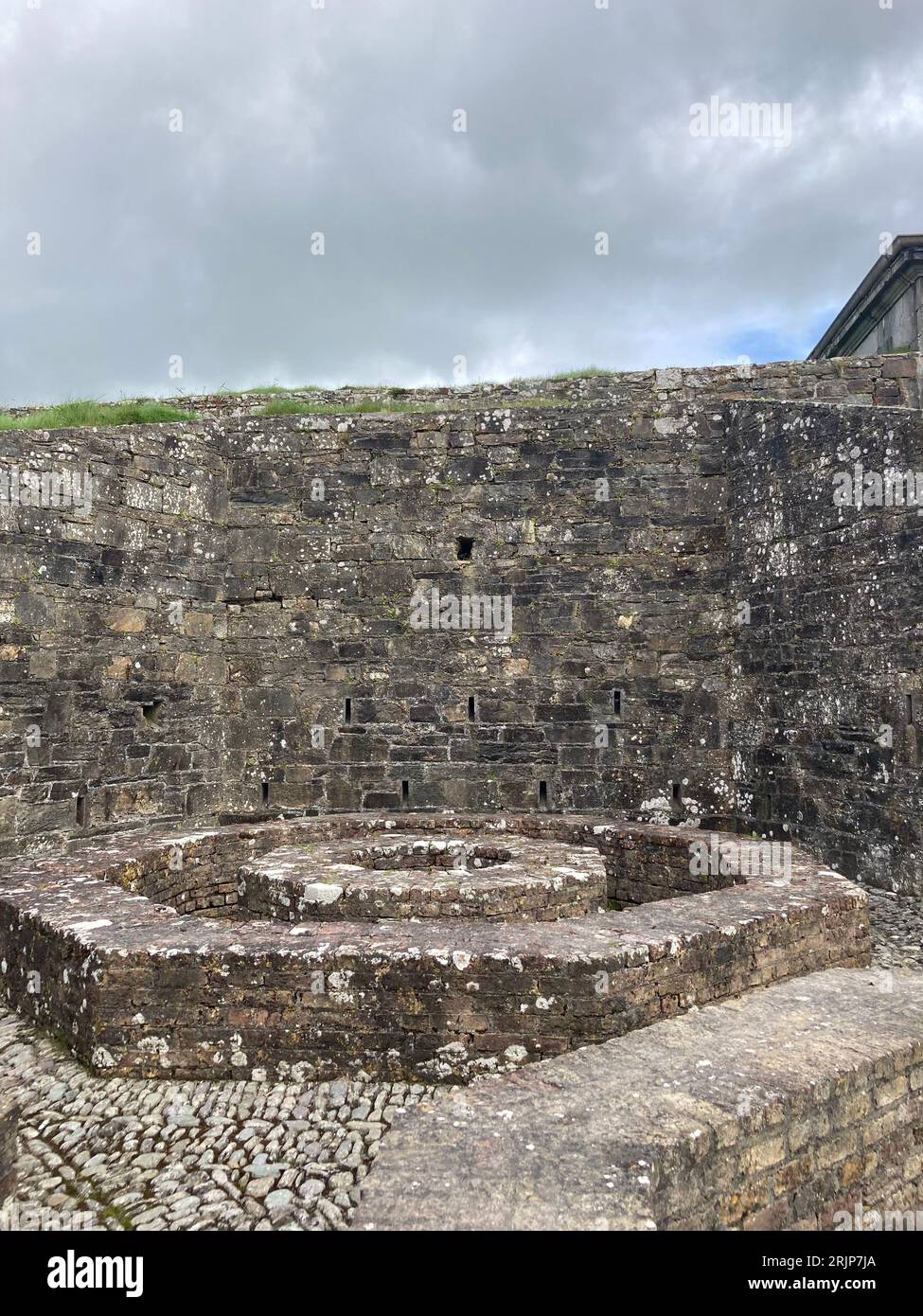 Fairy fort / earthen ringfort in An Leac MhórFairy fort / earthen ringfort · 1637 yd
Explorer Tom Fairy fort / earthen ringfort in An Leac Mhór is a saucer-shaped circle that looks like it’s waiting for soup, except…
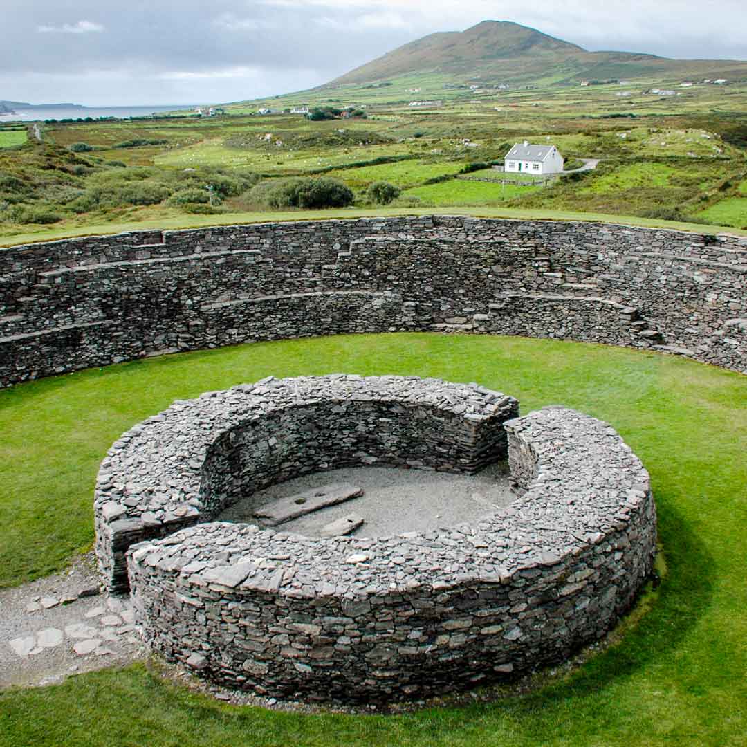 Fairy fort / stone ringfort in An Cúíl IarthachFairy fort / stone ringfort · 1700 yd
Explorer Tom Fairy fort / stone ringfort in An Cúíl Iarthach sits on a natural knoll with rock outcrops built into the wall. There…
 Séipéal Naomh Lachtáin [Saint Lachteen's Catholic Church]Church/chapel · 1.1 mi
Explorer Tom Séipéal Naomh Lachtáin is standing proud like it owns the whole hill. It’s got that classic 'we are very important…
 DolmenStone circle, five-stone · 1.1 mi
Explorer Tom This Dolmen in Ré Na Ndoirí is actually a five-stone circle pretending to be a dolmen. It’s complete and aligned NE-SW…
 Anomalous stone group in Cúil An MhothairAnomalous stone group · 1.3 mi
Explorer Tom Anomalous stone group in Cúil An Mhothair has two big sandstone boulders sitting near each other like they’re waiting…
 Stone AlignmentStone row · 1.4 mi
Explorer Tom Stone Alignment in Cúil An Mhothair is three stones in a row, basically a line of waiting. They’re watching the river…
 Fairy fort / earthen ringfort in Gort Na FuinseannFairy fort / earthen ringfort · 1.5 mi
Explorer Tom Gort Na Fuinseann was clearly visible when ploughed, but now it’s just an earthen arc hiding in the fence line. The…
 Wedge tomb in Ré Na NdoiríWedge tomb · 1.6 mi
Explorer Tom Wedge tomb in Ré Na Ndoirí, County Cork, is squeezed into a boggy defile like it’s trying to fit through a very tight…
 Bullaun stone in An Muirneach BeagBullaun stone · 1.7 mi
Explorer Tom Bullaun stone in An Muirneach Beag in County Cork has a hollow that looks like a giant's hiccup. Its name probably…
 Wedge tomb in Gort Na BinneWedge tomb · 2.0 mi
Explorer Tom Wedge tomb in Gort Na Binne has capstones lying around like discarded plates after a very messy medieval dinner. The…
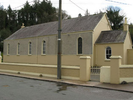 Séipéal Ghobnatan [Saint Gobnet's Catholic Church]Church/chapel · 2.1 mi
Explorer Tom Séipéal Ghobnatan in Murnaghbeg has been standing by the road since 1871. It’s got stained glass that probably sees…
More archaeology and monuments in County Cork · All of County Cork

What do you know about this place?Tap to add a comment or ask a question