What is recorded here
Half-buried beneath a small hill in County Meath, the passage descends through a narrow crawl and curves into a beehive chamber where a skeleton and a chalice dated 1635 were found. The shape suggests a hidden chapel or refuge, perhaps used when worship became dangerous, while the two roof vents and raised cupboard point to a place made for living as well as hiding. Whatever it was, someone built it to disappear beneath the ground and reappear only when the world above stopped listening.
Located on top of a small hill, this Man-made underground passage has many traditions associated with it. It was reputedly discovered in 1750 when a skeleton was found in the beehive chamber. From a chalice dated 1635 and other paraphernalia found with it, the remains are thought to be those of a priest from the Penal times (Ussher 2012, 53), although the discovery of the passage, or perhaps its re-discovery, seems to have occurred c. 1896 (Rotheram 1897, 427). An upper E-W passage (L c. 6m) is largely open but slopes down steeply to a small rectangular chamber. From this a narrow passage (L 1.8m; Wth 0.45m; H 0.65m) leads N to a seeming dead-end but a trapdoor in the roof leads to a more spacious passage (Wth c. 1.05m; H c. 1.3m) that curves around to NW and then SW (L c. 13m) before entering a beehive chamber (diam. c. 2.3m; H 2.2m). From the trapdoor this passage also extends slightly S (L c. 1.2m). The beehive chamber has two air vents in the roof and a cupboard (Wth 0.4m; H 0.5m; L c. 1.5m) above the floor on the wall at SE.
The above description is derived from the published 'Archaeological Inventory of County Meath' (Dublin: Stationery Office, 1987). In certain instances the entries have been revised and updated in the light of recent research.
See the attached plan after Rotheram
Compiled by: Michael Moore
Date of revision: 26 May 2015
The monument record does not grant public access. Check the route and ask the landowner before entering private land.
- What survives
- Recorded monument
Places near here
 Church (in Ruins)Church · 1036 yd
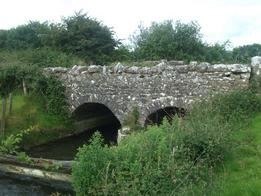 Ballinacree Bridgebridge · 1171 yd
 CastleCastle, unclassified · 1210 yd
 St. Patricks WellsHoly well · 1349 yd
 Ecclesiastical enclosure in Moat (fore By.)Ecclesiastical enclosure · 1433 yd
 European BeechEuropean Beech · 1465 yd
 The MoatCastle, motte and bailey · 1.1 mi
 Mount FortuneMountain / peak · 1.6 mi
 Memorial CrossMemorial · 1.8 mi
 Fennor LowerMountain / peak · 2.1 mi
 Mullaghmeen ForestPicnic place · 3.0 mi
 C11Named rock · 3.5 mi