What is recorded here
Croaghan rath in County Cavan, Ireland, holds an L-shaped underground passage with an eight-metre NW-SE leg and a six-metre NE-SW leg. The longer chamber is one metre deep, the shorter is sixty centimetres deep, and both are about three and a half metres wide. The angles suggest a deliberate meeting place beneath the rath rather than a collapsed hole. People may have gone down there to keep things hidden, speak past the reach of listeners, or leave the world above behind for a time.
Within Croaghan rath (CV043-009001-). An L-shaped depression, the longer leg (L 8m; Wth 3.4m; D 1m) aligned NW-SE and the other (L 6m; Wth 3.5m; D 0.6m) running NE-SW at the centre of the interior, probably represents the site of a Man-made underground passage.
The above description is derived from the published 'Archaeological Inventory of County Cavan' (Dublin: Stationery Office, 1995). In certain instances the entries have been revised and updated in the light of recent research.
Date of upload/revision: 22 December 2008
The monument record does not grant public access. Check the route and ask the landowner before entering private land.
- What survives
- Recorded monument
Places near here
 IndicatedFairy fort / stone ringfort · 330 yd
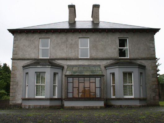 rectory/glebe/vicarage/curate's houserectory/glebe/vicarage/curate's house · 1092 yd
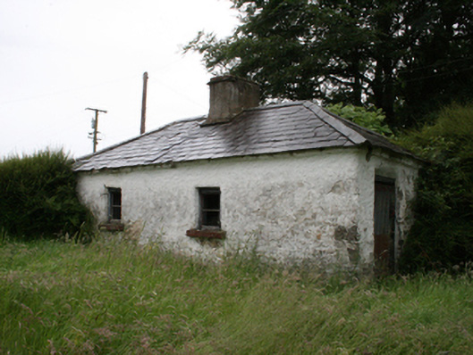 Lake View Househouse · 1288 yd
 Enclosure in Newcastle (fore By.)Enclosure · 1.1 mi
 Crossafehin IslandsIslet · 1.1 mi
 Knockatemple WoodlandWood · 1.2 mi
 Fennor RockMountain / peak · 1.2 mi
 Cow and Knockatemple IslandIslet · 1.2 mi
 Site of Old CastleCastle, unclassified · 1.5 mi
 IslandMountain / peak · 1.6 mi
 Fort Frederick DemesneForest · 1.8 mi
 ChurdhChurch · 1545 yd