
What is recorded here
Raised circular area (int. dims. 50m NE-SW; 49m NW-SE) enclosed by a substantial drystone wall. Gap in wall at S probably represents original entrance. From WNW-NW the wall is absent where a rectangular stone building was erected, the foundations of which are still visible. This is believed to have been built as a refuge by tenants evicted from a nearby house in the last century.
The above description is derived from the published 'Archaeological Inventory of County Cavan' (Dublin: Stationery Office, 1995). In certain instances the entries have been revised and updated in the light of recent research.
Date of upload/revision: 22 December 2008
The monument record does not grant public access. Check the route and ask the landowner before entering private land.
- What survives
- Recorded monument
Places near here
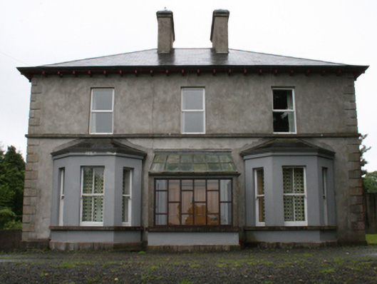 rectory/glebe/vicarage/curate's houserectory/glebe/vicarage/curate's house · 1416 yd
 Enclosure in Newcastle (fore By.)Enclosure · 1543 yd
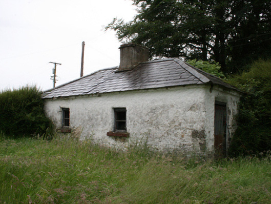 Lake View Househouse · 1591 yd
 Enclosure in KnockaraheenEnclosure · 1667 yd
 Fennor RockMountain / peak · 1.2 mi
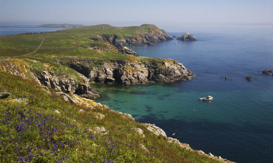 Crossafehin IslandsIslet · 1.3 mi
 Site of Old CastleCastle, unclassified · 1.3 mi
 Knockatemple WoodlandWood · 1.4 mi
 Cow and Knockatemple IslandIslet · 1.4 mi
 IslandMountain / peak · 1.5 mi
 Fort Frederick DemesneForest · 2.0 mi
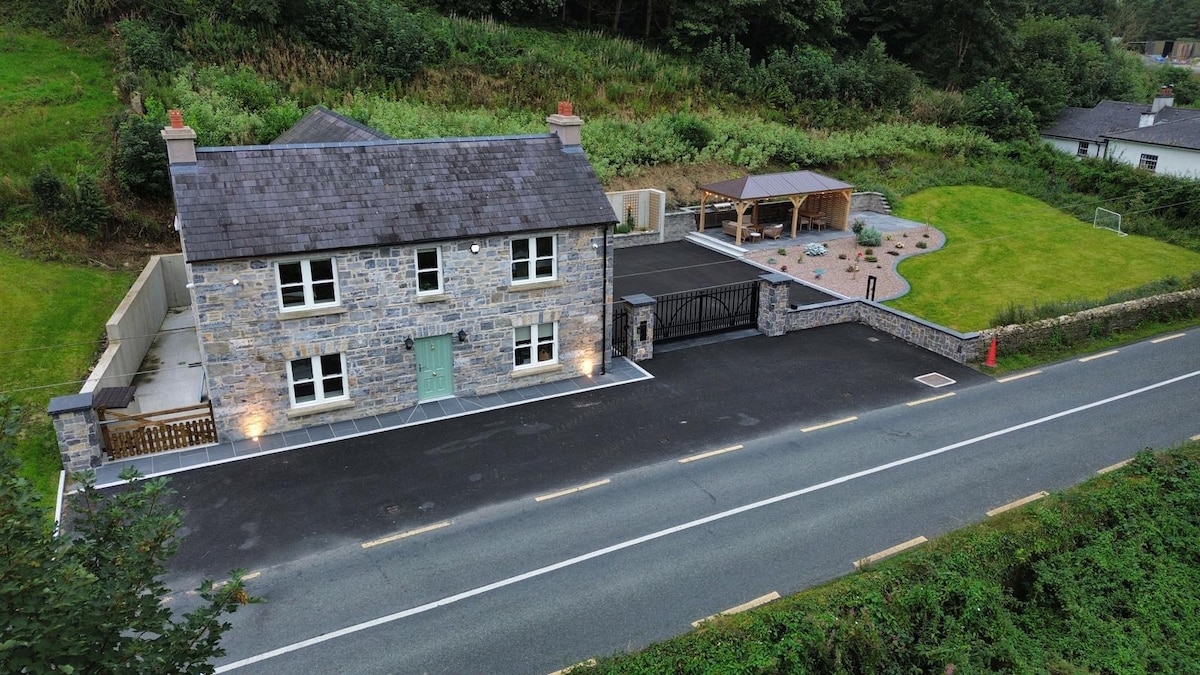 ChurdhChurch · 1678 yd
Other information
Photo: Credit not shown in the picture search · Rights wording not checked; contact us if this picture should be removed