What is recorded here
Situated near the crest of a low rise, in gently undulating pasture, with good views to N, W and extensive views to S and E. Monument described in 1978 as a slump into a Man-made underground passage which is blocked by a collapsed of earth and stone. A narrow view of a passage can be seen by removing some of the stones. The opening of a passage way can be seen in the edge of the rise, approx. 9m to NW. A large roof slab can be seen in the face of the rise at this location. This opening of the passage is blocked with stones and some iron sheeting. The area of the Man-made underground passage is traversed by field fences running NE-SW and NW-SE. This natural rise would have been suitable for the siting of a ringfort, although there is no visible surface trace of one.
Compiled by Alison McQueen, Vera Rahilly and Caimin O’Brien.
Date of upload: 10 September 2019
The monument record does not grant public access. Check the route and ask the landowner before entering private land.
- What survives
- Recorded monument
Places near here
 CastleCastle, unclassified · 787 yd
 Dotted outlinedFairy fort / earthen ringfort · 837 yd
 OutlinedFairy fort / earthen ringfort · 848 yd
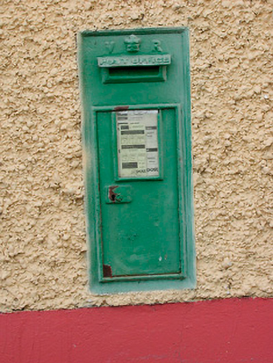 post boxpost box · 1435 yd
 Site of CastleCastle, unclassified · 1438 yd
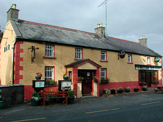 William Foxhouse · 1441 yd
 Ancient Ring FortWood · 1.1 mi
 Hill of UisneachMountain / peak · 2.3 mi
 European ashEuropean ash · 3.1 mi
 Abbeyshrule AbbeyRuins · 9.1 mi
 Bonfire HillMountain / peak · 9.2 mi
 Guest ServicesVisitor information · 9.7 mi