What is recorded here
The following description is derived from both the published 'Archaeological Inventory of County Louth' (Dublin: Stationery Office, 1986) and the 'Archaeological Survey of County Louth' (Dublin: Stationery Office, 1991). In certain instances the entries have been revised and updated in the light of recent research.
Date of upload/revision: 17 July 2007
Situated at N end of polygonal enclosure (LH004-076001-) which was removed in 1968. During clearance a section of drystone-built passage (L c. 2m), extending ENE-WSW, was uncovered. The passage ended in a curved wall at ENE and was blocked by collapse at WSW.
The monument record does not grant public access. Check the route and ask the landowner before entering private land.
- What survives
- Recorded monument
Places near here
 Enclosure in BroughattinEnclosure · 1 yd
 Ecclesiastical enclosure in ProleekEcclesiastical enclosure · 479 yd
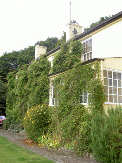 Doolargy Cottagehouse · 621 yd
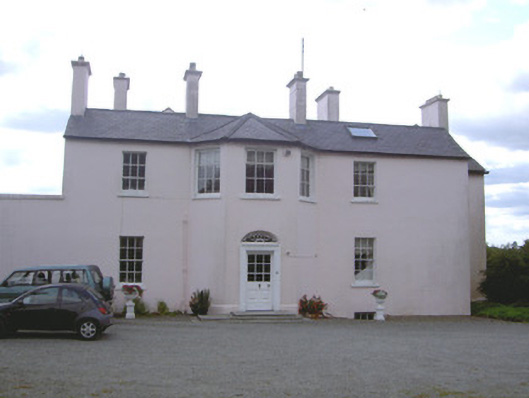 Doolargy Househouse · 673 yd
 Proleek DolmenArchaeological place · 1198 yd
 CastleCastle, tower house · 1.2 mi
 Trumpet HillMountain / peak · 1.4 mi
 Drumisnagh HillMountain / peak · 1.4 mi
 Battle of FaughartMajor battlefield · 1.7 mi
 Faughart MoundCastle, motte · 1.8 mi
 Ravensdale LoopWalking route · 2.2 mi
 KILNASAGGART INSCRIBED PILLAR STONE & CEMETERY with 6 CROSS-CARVED STONES: CELL NA SACART in EdenappaKILNASAGGART INSCRIBED PILLAR STONE & CEMETERY with 6 CROSS-CARVED STONES: CELL NA SACART · 2.3 mi