
What is recorded here
At Ballygreighan rath (SL018-039001-). Centrally located within the interior is a circular sunken area (dims. 7m E-W; 6.3m N-S - D 0.4m) defined by a low bank (ext. H 0.3m). On its SSE side is a gap (Wth. 1.5m) which opens into a sunken passage (Wth. 1.6m; D 0.6m - 0.7m) which extends in a SSE direction for 5m until it intersects with a ditch or gully (Wth. 0.8m; D 0.6m) which extends from E-SE-SSE immediately inside the bank.
Compiled by: Patrick F. O'Donovan
Date of upload: 19 January 2011
The monument record does not grant public access. Check the route and ask the landowner before entering private land.
- What survives
- Recorded monument
Places near here
 Enclosure in LugdoonEnclosure · 831 yd
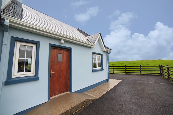 IndicatedFairy fort / earthen ringfort · 1002 yd
 Catholic Church of the Immaculate Conceptionchurch/chapel · 1.2 mi
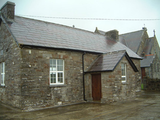 Templeterrace National Schoolschool · 1.2 mi
 CastleCastle, tower house · 1.2 mi
 Knockalongy North-East TopMountain / peak · 2.7 mi
 KnockalongyMountain / peak · 2.8 mi
 Aughris BeachBeach / strand · 3.0 mi
 Aughris HeadHeadland · 3.3 mi
 Dunmoran StrandBeach / strand · 3.4 mi
 Site of Dunneill CastleCastle, unclassified · 3.6 mi
 DonaghHeadland · 3.6 mi
Other information
Photo: Credit not shown in the picture search · Rights wording not checked; contact us if this picture should be removed