What is recorded here
In tillage. Discovered in 1983 during ploughing (Crowley 1984, 43) and investigated by Cleary (1986, 144-6), who described at least two stone-built chambers joined by creepway. Chamber 1: roughly circular (2.7m E-W; 2.8m N-S; max. H 1.75m); creepway (L 1.2m; Wth 0.7m; H 0.6m), roofed with three lintels, from W side to chamber 2. Chamber 2: roughly circular (2.7m E-W; 2.75m N-S; H 1.3m). Creepway (entrance: Wth 0.6m; H 0.35m) of drystone walling roofed with lintels, from S side of chamber 2, blocked by loose earth and stones. No visible surface trace.
The above description is derived from the published 'Archaeological Inventory of County Cork. Volume 4: North Cork' (Dublin: Stationery Office, 2000). In certain instances the entries have been revised and updated in the light of recent research.
Date of upload/revision: 14 January 2009
The monument record does not grant public access. Check the route and ask the landowner before entering private land.
- What survives
- Recorded monument
Places near here
 Ballywalter Bridgebridge · 240 yd
 Old Grave YdBurial ground · 449 yd
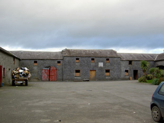 Ballywalter Housefarmyard complex · 562 yd
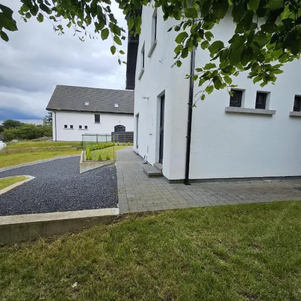 Enclosure in Ballyellis (fermoy By., Templeroan Par.)Enclosure · 682 yd
 IndicatedCastle, tower house · 904 yd
 Anne's Grove GardensHeritage attraction · 955 yd
 Shanballymore Castle (Site of)Castle, unclassified · 1255 yd
 Horse Field WoodForest · 2.9 mi
 North Meadow WoodForest · 3.1 mi
 Flat cemetery in Ballyenahan NorthFlat cemetery · 3.4 mi
 Blackwater (Avondhu) WayWalking route · 4.6 mi
 Graveyard in BoherashGraveyard · 4.9 mi