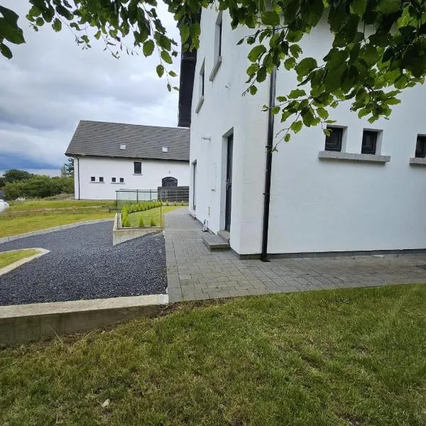
What is recorded here
Enclosure in Ballyellis is a roughly circular ditched site about thirty metres across, still readable as two concentric shadows in the grass. It sits north of a ringfort, as if two households had argued about boundary, pride or danger and refused to merge. The earth kept the shape long after the people stopped shaping it, which is more honest than most modern walls.
Cropmark of two concentric fosses of roughly circular enclosure (diam. c. 30m) visible in aerial photograph (CASAP, July 1989). Ringfort (12093) c. 130m to S.
The above description is derived from the published 'Archaeological Inventory of County Cork. Volume 4: North Cork' (Dublin: Stationery Office, 2000). In certain instances the entries have been revised and updated in the light of recent research.
Date of upload/revision: 14 January 2009
The monument record does not grant public access. Check the route and ask the landowner before entering private land.
- What survives
- Recorded monument
Places near here
 Dannanstown Housemill manager's house · 253 yd
 IndicatedCastle, tower house · 259 yd
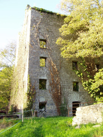 mill (water)mill (water) · 308 yd
 TumulusCairn, unclassified · 484 yd
 Shanballymore Castle (Site of)Castle, unclassified · 694 yd
 Old Grave YdBurial ground · 1116 yd
 Anne's Grove GardensHeritage attraction · 1627 yd
 Horse Field WoodForest · 2.6 mi
 North Meadow WoodForest · 2.7 mi
 Flat cemetery in Ballyenahan NorthFlat cemetery · 3.2 mi
 Blackwater (Avondhu) WayWalking route · 5.0 mi
 Graveyard in BoherashGraveyard · 5.0 mi
Other information
Photo: Credit not shown in the picture search · Rights wording not checked; contact us if this picture should be removed