
What is recorded here
In pasture, on gentle S-facing slope, c. 300m E of Awbeg River. Rectangular tower (10.5m N-S; 9m E-W) surviving only to two storeys. Wide, high door (Wth 2.36m; c. 3.5m H) in S wall clearly an insertion; no evidence of original entrance. Ground-floor chamber (8.15m N-S; 5.73m E-W) floored with concrete and used as cattle shed. Blocked double-splayed window N of centre in W wall, light missing; similar window N of centre in E wall has narrow lintelled light. Central door in E wall, now partially blocked, originally led to base of narrow mural stairs rising in E wall to 2nd-floor level; breach in outer wall at base of stairs.
No evidence survives of ceiling over ground floor or of access to 1st floor. Single chamber on 1st floor covered by rounded vault (long axis N-S) with traces of plank centring; lit by lintelled window, now blocked, in N wall. Mural stairs in E wall reach 2nd-floor level in SE corner of tower, then turn to W for one step, above which does not survive. Floor over vault covered in concrete, walls at this level survive to only c. 0.5m high.
Slight base batter on N, E and W walls; no batter on S wall, which is less than half thickness of other walls, and is probably completely rebuilt.
Little known of site's history; 'Dowanestowne' included in a grant of land by the crown to David Lord Roche in 1611 (Grove White 1905-25, vol. 3, 11).
The above description is derived from the published 'Archaeological Inventory of County Cork. Volume 4: North Cork' (Dublin: Stationery Office, 2000). In certain instances the entries have been revised and updated in the light of recent research.
Date of upload/revision: 14 January 2009
Built by an unknown local lord, likely in the 15th or 16th century. The castle is remembered for its unusually wide southern entrance, suggesting it may have been modified for ceremonial or defensive purposes.
The monument record does not grant public access. Check the route and ask the landowner before entering private land.
- What survives
- Recorded monument
Places near here
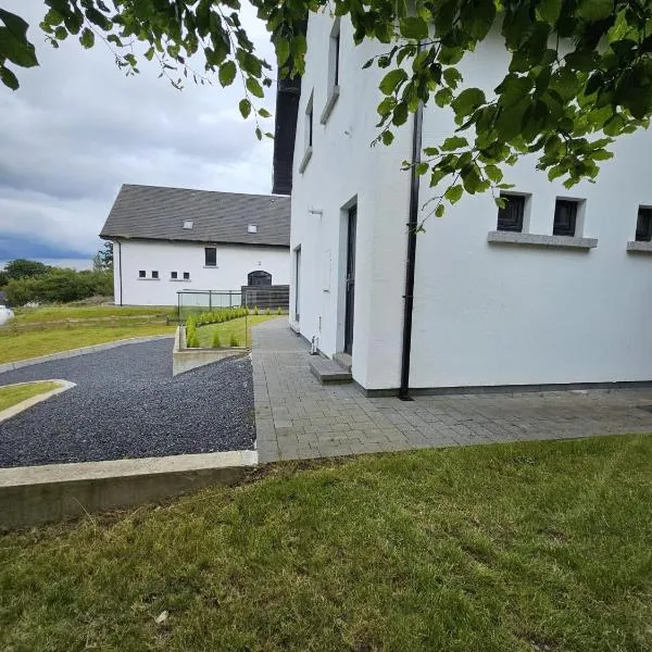 Enclosure in Ballyellis (fermoy By., Templeroan Par.)Enclosure · 259 yd
 Dannanstown Housemill manager's house · 268 yd
 TumulusCairn, unclassified · 276 yd
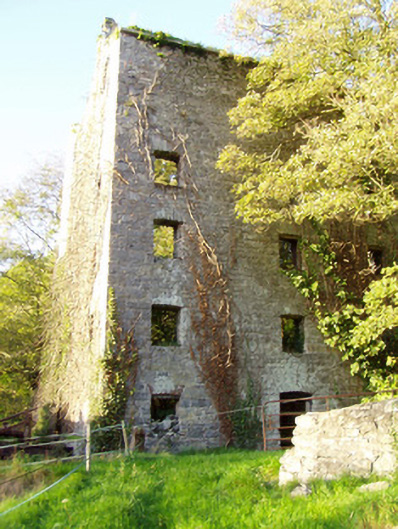 mill (water)mill (water) · 317 yd
 Shanballymore Castle (Site of)Castle, unclassified · 718 yd
 Ruane Castle (Site of)Castle, unclassified · 1613 yd
 Anne's Grove GardensHeritage attraction · 1.0 mi
 Horse Field WoodForest · 2.4 mi
 North Meadow WoodForest · 2.6 mi
 Flat cemetery in Ballyenahan NorthFlat cemetery · 3.1 mi
 Graveyard in BoherashGraveyard · 5.0 mi
 Blackwater (Avondhu) WayWalking route · 5.1 mi
Other information
Photo: Credit not shown in the picture search · Rights wording not checked; contact us if this picture should be removed