
What is recorded here
At the bottom of a river ravine, running under the wall of a ruined mill. A drystone passage with a lintelled roof. The mouth of the passage is 0.6m wide and 0.5m high. While it might be a Man-made underground passage this is rather doubtful and it is more likely to be connected to the mill. (CLAJ 1930, 181; CLAJ 1956, 447)
Compiled by: Claire Breen
Date of upload: 10 November 2011
The monument record does not grant public access. Check the route and ask the landowner before entering private land.
- What survives
- Recorded monument
Places near here
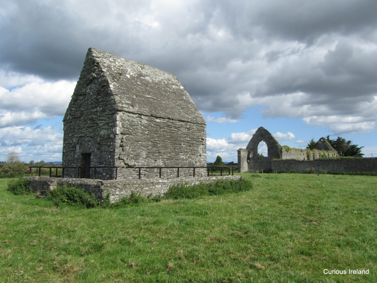 LisaclogEnclosure · 744 yd
 Enclosure in BallinfuilEnclosure · 973 yd
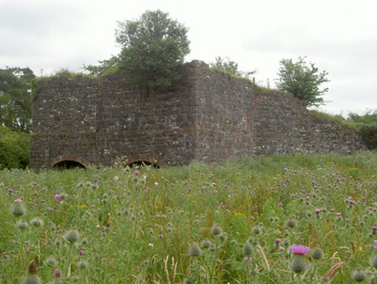 kilnkiln · 1057 yd
 Sky HillMountain / peak · 1278 yd
 Dungooly Bridgebridge · 1689 yd
 TumulusCastle, motte and bailey · 1.0 mi
 Roche CastleCastle, Anglo-Norman masonry castle · 1.1 mi
 Ballsmill Amenity LandPicnic place · 1.7 mi
 Forkhill Greenspace PathwayWalking route · 2.0 mi
 TievecromMountain / peak · 2.1 mi
 Ring of Gullion Way - ForkhillVisitor information · 2.2 mi
 Mass Rock Loop TrailWalking route · 2.7 mi
Other information
Photo: Credit not shown in the picture search · Rights wording not checked; contact us if this picture should be removed