
What is recorded here
No visible trace remains above ground in the levelled ringfort, yet the passage still exists beneath the soil. Power named it in 1917, and the archive carried that name forward. The earth swallowed the entrance, but it did not erase the tunnel.
In levelled ringfort (CO066-00601-). Mentioned by Power (1917, 167). No visible surface trace.
The above description is derived from the published 'Archaeological Inventory of County Cork. Volume 2: East and South Cork' (Dublin: Stationery Office, 1994). In certain instances the entries have been revised and updated in the light of recent research.
Date of upload/revision: 14 January 2009
The monument record does not grant public access. Check the route and ask the landowner before entering private land.
- What survives
- Recorded monument
Places near here
 sign postsign post · 744 yd
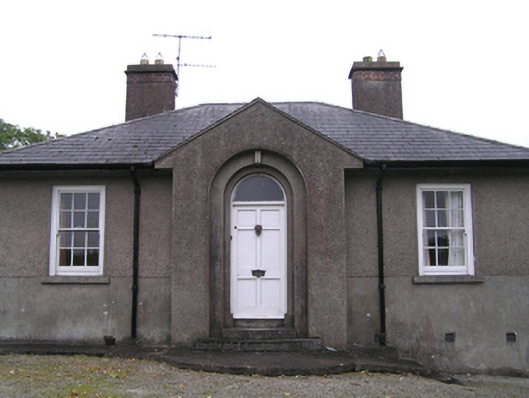 garda station/constabulary barracksgarda station/constabulary barracks · 761 yd
 IndicatedFairy fort / earthen ringfort · 817 yd
 Fulacht fia in GlenaphucaFulacht fia · 845 yd
 Dungourney Caslte (Site of)Castle, unclassified · 1476 yd
 Clonmult Ambush SiteBattlefield · 1699 yd
 Castle (Site of)Castle, unclassified · 1.6 mi
 Leahy's Open FarmHeritage attraction · 2.7 mi
 N25 Picnic SitePicnic place · 3.9 mi
 Pigeon WoodWood · 4.1 mi
 William Heffernan MemorialMemorial · 4.4 mi
 Graveyard in Broomfield WestGraveyard · 4.7 mi
Other information
Photo: Credit not shown in the picture search · Rights wording not checked; contact us if this picture should be removed