
What is recorded here
Indicated was a forty-metre fairy fort on a Cork hilltop, visible only as a hachured circle on an 1842 map before pasture and plough erased it. The land swallowed the stone and soil work of hands long gone, leaving behind a name and a faint line on paper. What remains is a ghost of a shape, remembered through the act of pointing at nothing.
In pasture, on top of hill. Shown as hachured circular enclosure (diam. c. 40m) on 1842 OS 6-inch map. Levelled; no visible surface trace.
The above description is derived from the published 'Archaeological Inventory of County Cork. Volume 2: East and South Cork' (Dublin: Stationery Office, 1994). In certain instances the entries have been revised and updated in the light of recent research.
Date of upload/revision: 14 January 2009
The monument record does not grant public access. Check the route and ask the landowner before entering private land.
- What survives
- Recorded monument
Places near here
 sign postsign post · 698 yd
 Man-made underground passage in SheepwalkMan-made underground passage · 725 yd
 Man-made underground passageMan-made underground passage · 817 yd
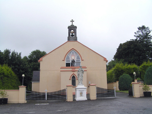 Saint Peter's Roman Catholic Churchchurch/chapel · 909 yd
 Clonmult Ambush SiteBattlefield · 967 yd
 Dungourney Caslte (Site of)Castle, unclassified · 1664 yd
 Castle (Site of)Castle, unclassified · 2.1 mi
 Leahy's Open FarmHeritage attraction · 2.5 mi
 N25 Picnic SitePicnic place · 4.2 mi
 Pigeon WoodWood · 4.4 mi
 Graveyard in Broomfield WestGraveyard · 4.6 mi
 William Heffernan MemorialMemorial · 4.8 mi
Other information
Photo: Credit not shown in the picture search · Rights wording not checked; contact us if this picture should be removed