What is recorded here
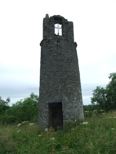
Freestanding circular-plan bell tower, built c.1650, with internal stone spiral stair leading to platform with bellcote over. Roughcast render over rubble stone walls, with projecting coping surmounted by stone posts, and beam with recent cross and single pinnacle to angle on west side. Square-headed window opening facing south-west. Square-headed door opening at base above single step.
A belfry forming a striking landmark, set on the summit of Carrick Rock, overlooking St Mary's Church below to the east and Lough Sheelin to the weat. This eyecatching building makes a significant contribution to the historic character of the surrounding landscape. Though its construction predates St Mary's, it is said to have served its belfry until 1919 when the cast-iron belfry was erected adjacent to the church.
From the Buildings of Ireland (National Inventory of Architectural Heritage) record 40404103
This does not grant access. Most recorded buildings are privately owned; view them only from public ground unless the owner allows entry.
Places near here
Carrick RockWood · 117 ydIndicatedFairy fort / earthen ringfort · 1024 ydMoynagh Upper ForestForest · 1205 ydCarrickabaneMountain / peak · 1281 ydSporting RockIslet · 1354 ydCarrickMountain / peak · 1455 yd Drumloman Church of Ireland ChurchChurch/chapel · 1503 ydWatty's RocksIslet · 1.0 miTony FortArchaeological place · 1.1 miCastleCastle, motte · 1.3 miMoydristan HouseHouse · 1.4 miMyles O'Reilly MonumentMemorial · 1.6 mi
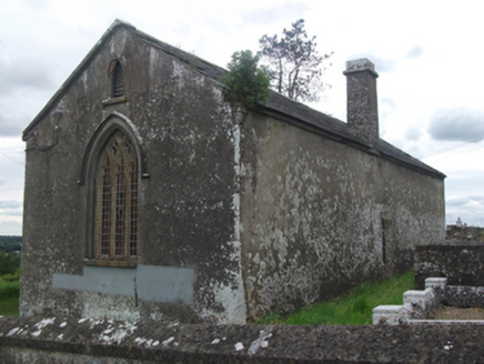 Drumloman Church of Ireland ChurchChurch/chapel · 1503 ydWatty's RocksIslet · 1.0 miTony FortArchaeological place · 1.1 miCastleCastle, motte · 1.3 mi
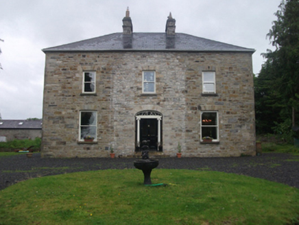 Moydristan HouseHouse · 1.4 mi
 Myles O'Reilly MonumentMemorial · 1.6 mi
Pictures: National Inventory of Architectural Heritage; Cavanphotography, Wikimedia Commons · CC BY-SA 4.0
More historic places in County Cavan · All of County Cavan
What do you know about this place?