What is recorded here
The church (ME006-028----) is within a rectangular grass-covered graveyard (dims c. 57m NW-SE; c. 45m NE-SW) defined by earthen banks on each side except the SE where there is a scarp. No headstones or grave-markers are visible, but it is known locally that burial ceased c. 1890 and bones were noted in the field bank where the sod was poached.
Compiled by: Michael Moore
Date of upload; 20 May, 2014
Amended: 30 July 2014
The monument record does not grant public access. Check the route and ask the landowner before entering private land.
- What survives
- Recorded monument
Places near here
 Font in LoughbrackanFont · 6 yd
 Loughbrackan FortCastle, motte and bailey · 854 yd
 CastleCastle, motte · 1256 yd
 CrossCross, High cross · 1285 yd
 Yellow Ford Bridgebridge · 1310 yd
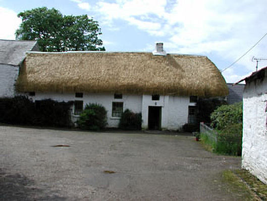 Yellowfordbridge Corn Millmiller's house · 1442 yd
 Drumran HillMountain / peak · 1.3 mi
 Gun HillMountain / peak · 1.7 mi
 Nobber GreenwayMemorial · 3.5 mi
 Headstown ForestForest · 3.7 mi
 Common LimeCommon Lime · 4.2 mi
 Graveyard in Richardstown (ardee By., Richardstown Par.)Graveyard · 8.6 mi